Arctic Circle Campground
Hosted by Bureau of Land Management
New listing
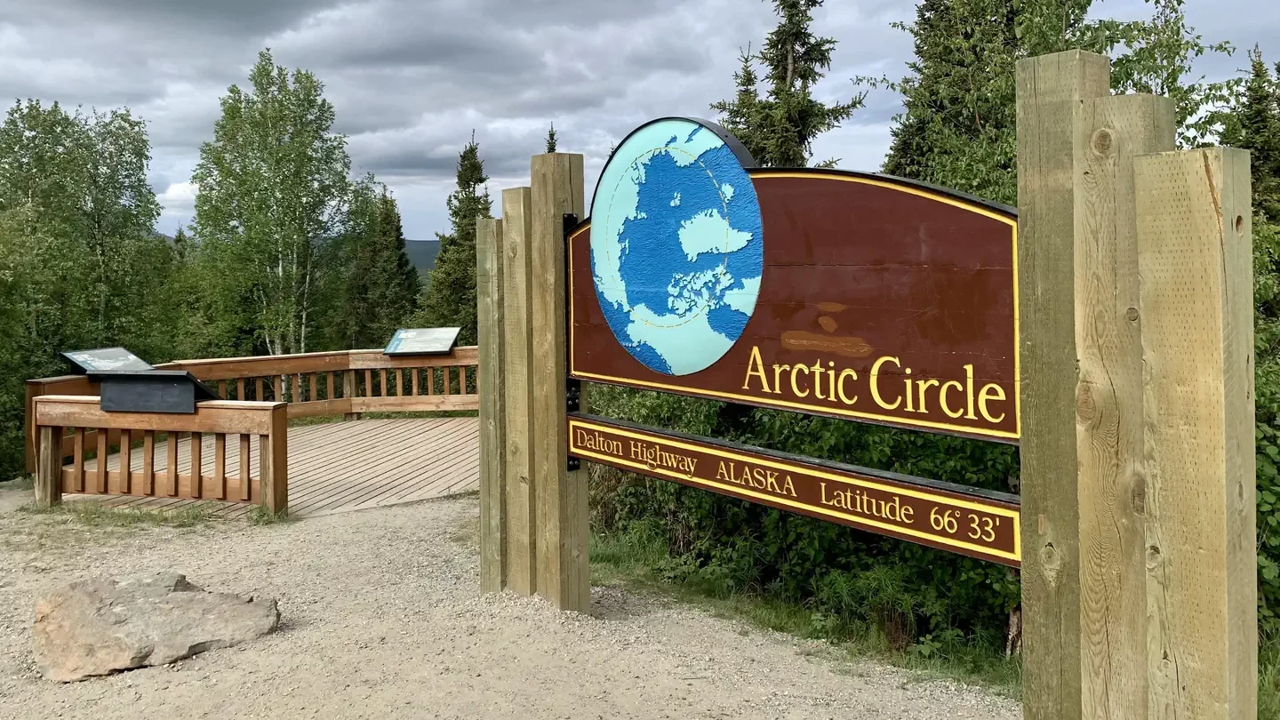
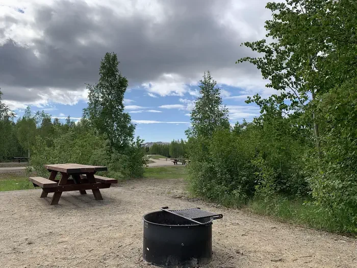
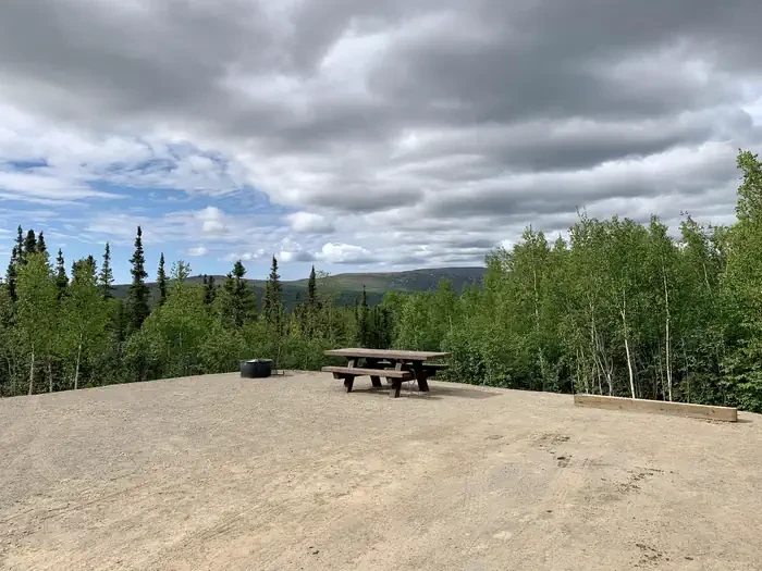
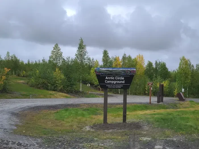
Arctic Circle Campground is located on a beautiful mixed forest hillside at the Arctic Circle, half a mile east (uphill) from the Dalton Highway and the Arctic Circle sign. It was fully renovated in 2021 and has 19 accessible campsites, with views of the nearby hills and the Kanuti Flats National Wildlife Refuge. The campground is a perfect stop for those exploring their way up the Dalton Highway. The roads and parking aprons have a gravel surface. Six sites are pull-through, allowing easy access for RVs, eleven sites are back-in, and there are two walk-in campsites. Each campsite has a fire ring and picnic table. There are vault toilets, trash receptacles and bear resistant food lockers, and a camp-host is onsite. Water is not available at the campground and there is no electricity and no dump station. The hills in the area are remote with rugged terrain and offer no developed routes, though backcountry hiking opportunities can be found on ridges in the area. Be advised that hiking can be difficult due to tussocks, wet ground and uneven footing. Choose your route with care and bring topographic maps, a satellite communication device, a GPS and a compass with you if you choose to go exploring. State statute prohibits off-road vehicle use within five miles either side of the highway from the Yukon River to the Arctic Ocean. Fishing opportunities are numerous in this area. Try your luck in the aptly named Fish Creek at the base of the hill, or just a little ways to the north at the two forks of Bonanza Creek. Make sure you have a State of Alaska fishing license and know the regulations for the area you are fishing. The Jim River can be a nice Class I-II float trip with several access points along the highway, but watch out for sweepers and strainers. Panning for gold is also allowed on several federal stream segments along the Dalton Highway south of Atigun Pass (Milepost 244); no panning is permitted in the pipeline right-of-way (27 feet/8.2 m on either side of the pipeline) or on federal mining claims without permission, and suction dredging is prohibited in the Utility Corridor. Other recreational activities include bird watching and bicycling. The surrounding forest provides habitat for squirrels, marten, lynx, wolf and brown and black bears. A variety of birds migrate north to breed in the area, and resident birds include ravens, grouse, and chickadees. The Arctic Circle sign is located nearby, so take your photo in front of it and get your certificate. Drive north about 20 miles to Gobblers Knob for expansive views of the Brooks Range and the Kanuti Flats National Wildlife Refuge, and just a little further to Coldfoot, located in the foothills of the Brooks Range, where fuel, food, lodging and cell service are available.
Location

Photo unavailable
Site 2
Accessible1 · STANDARD NONELECTRIC · Overnight
Campsites18
Fairbanks, AK
To respect the Host's privacy, the precise address of this land will be provided after booking
Site features
Driveway surface
Gravel
Tent
Camping
Photography
Reviews
No reviews yet.
Bureau of Land Management
- 0
- Reviews


