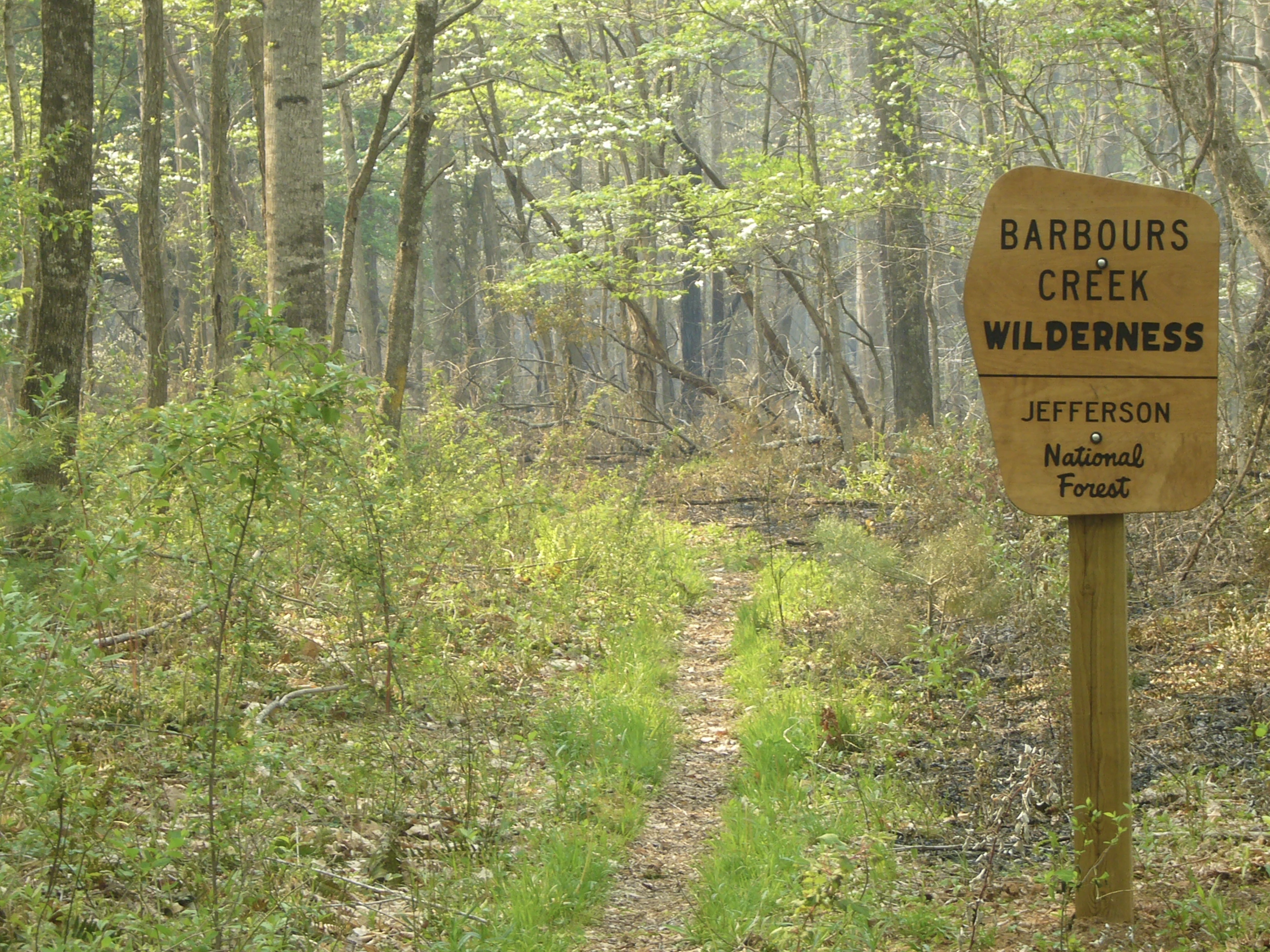
Barbours Creek Wilderness
Hosted by U.S. Forest Service
New listing
The rugged and remote mountain terrain of Barbours Creek Wilderness drops down the southeastern slope of Potts Mountain to Barbours Creek along the southern boundary. Elevations range from about 3,800 feet on the mountain to about 1,700 feet at the creek. The Wilderness is hardwood forest interspersed with yellow pine where the slopes face south and west. Some hemlock and white pine grow in the drainages, including the major cross-wilderness waterway, Lipes Branch, which holds native brook trout. More than 160 species of birds have been identified here. About two miles of trail exist in the Wilderness. A major wildfire burned in the Wilderness and on adjacent lands in April 2012, and visible evidence of its effects is evident throughout. Barbours Creek is in Craig County in southwest Virginia, managed by the U.S. Forest Service as part of the Eastern Divide Ranger District of the George Washington & Jefferson National Forests.
Location
Reviews
No reviews yet.
U.S. Forest Service
- 0
- Reviews


