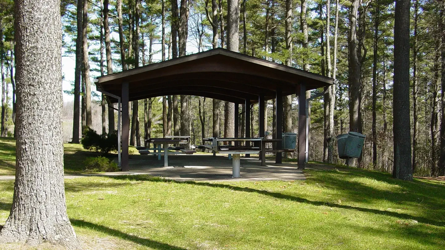
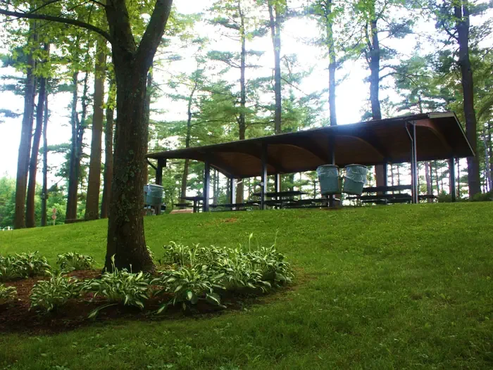
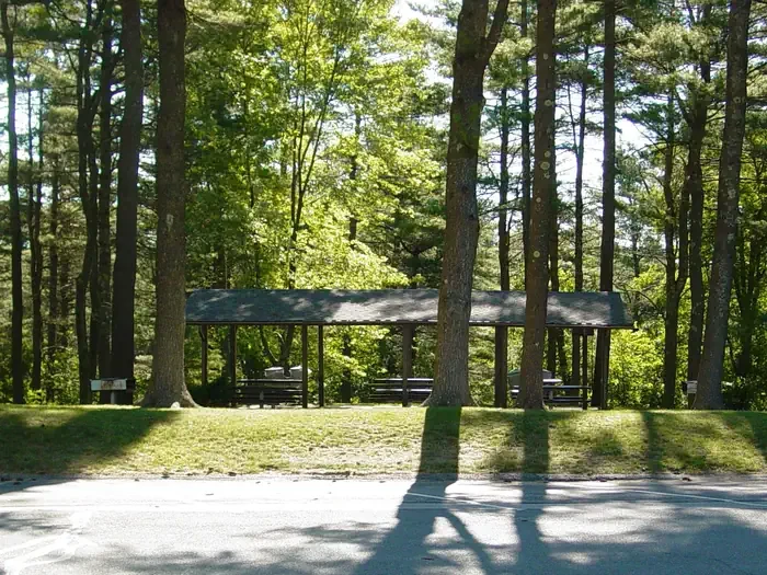
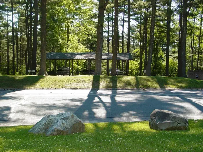
Barre Falls Dam Picnic Shelter
Hosted by US Army Corps of Engineers
New listing
Barre Falls Dam is located in Massachusetts within the towns of Hubbardston, Barre, Oakham and Rutland. Nestled within the 22,000-acre Ware River Watershed, the area offers canoeing, picnicking, hunting, fishing, hiking, sightseeing, horseback riding, cross-country skiing, disc golfing, geocaching and wildlife observation. The Mid-State Hiking Trail crosses the Ware River Watershed and Barre Falls Dam, and other short trails are open for hiking, biking, bird watching and trail running. During the mid-1930s and early 1940s, the Metropolitan District Water Supply Commission converted most of the open farm lands into red and white pine tree stands. Natural re-vegetation occurred on the areas not replanted, creating a mixture of hardwood and pine forests. Forest management by the Corps — thinning, pruning, harvesting timber, replanting and natural re-vegetation — improves timber quality, produces forest products, creates food and shelter for wildlife habitat, and enhances the recreational use of the resources. Visitors to the 557 acres of federal public land at Barre Falls will find wetlands, forest, open fields and river areas. These habitats are home to many species, including songbirds, seasonal migrant birds, moose, waterfowl, whitetail deer, wild turkey and rabbits. Rutland and Moore State Park are located within 15 miles of Barre Falls Dam and offer hiking, fishing, canoeing, cross country skiing, picnicking and swimming.
- Pet friendly
Location
Amenities
BBQ
Electric hookups
Grills
Picnic tables
Shade
Rules & policies
Check-in
9:00 AM
Check-out
5:00 PM
People per site
Up to 50
Vehicles per site
Up to 12
Pets allowed
Reviews
No reviews yet.
US Army Corps of Engineers
- 0
- Reviews


