Carson-Iceberg Wilderness
Hosted by U.S. Forest Service
New listing
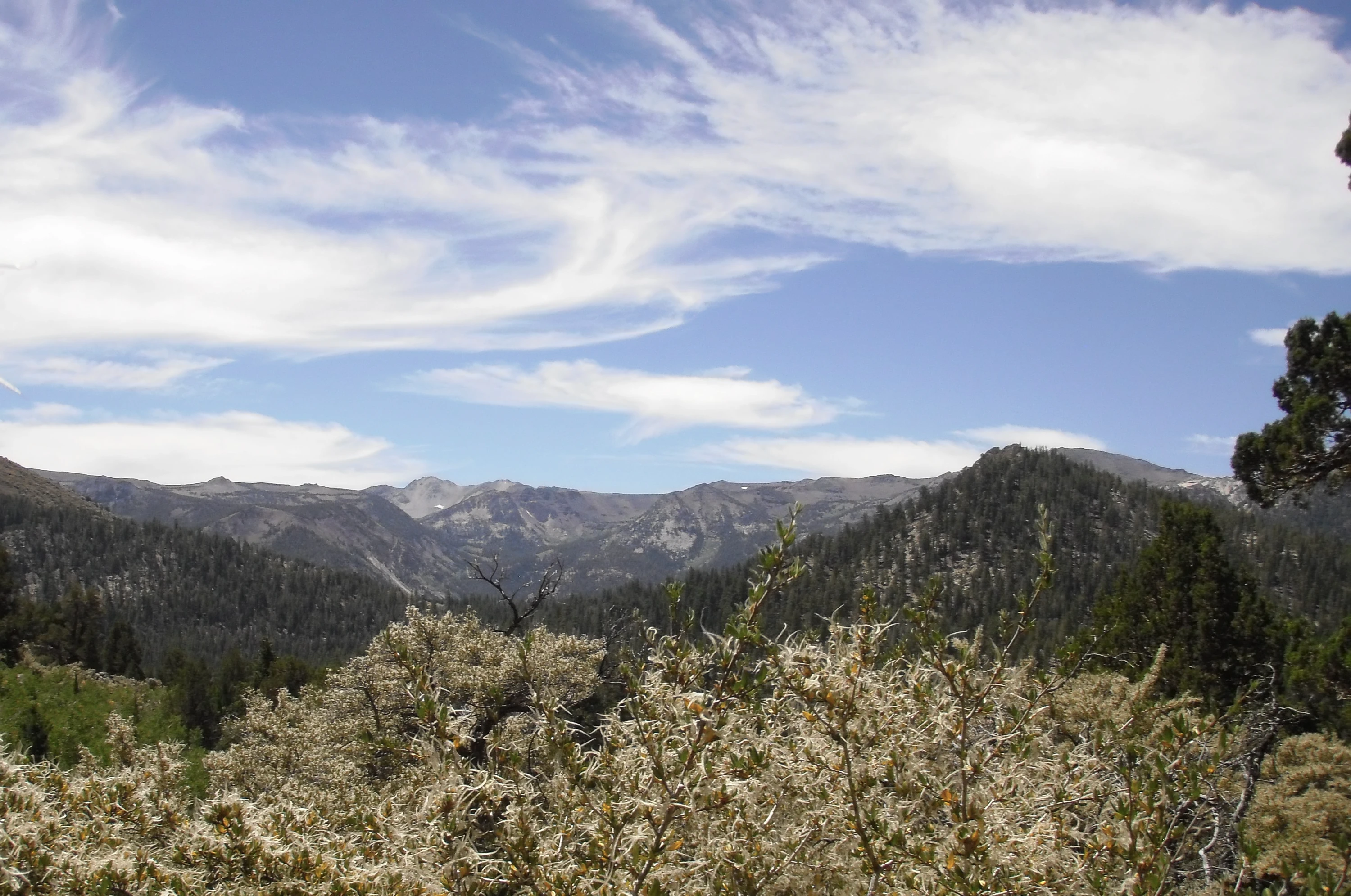
This Wilderness straddles California's Sierra Nevada Crest, divided between the Humboldt-Toiyabe and Stanislaus National Forests. Here you will find spectacular high country, with 12 peaks rising above 10,000 feet and numerous other peaks over 9,000 feet, broad river valleys, perennial creeks with small waterfalls, granite-strewn slopes, and several meadow-filled valleys. Here too are the headwaters of the East Fork of the Carson River, the Clark Fork of the Stanislaus, and the Mokelumne River. The Carson River, named for Kit Carson, and a distinctive granite formation called the Iceberg on the southern boundary give this area its name. You will hike often in a thick forest of pines, including Jeffrey, sugar, lodgepole, and western white, and firs, red and white. Lakes are fairly common on the eastern side but few and far between on the western side. Conversely, precipitation averaging 50 inches per year on the western slopes drops to about 15 inches per year on the eastern slopes, with about 80 percent falling as snow. Snowpacks usually linger into June, but the remainder of the summer is generally dry and mild with periodic afternoon thunderstorms and nighttime temperatures that could drop below freezing any day of the year. The Pacific Crest Trail runs the length of this area for over 26 miles, and about 200 total miles of foot and horse trails give access, where human use is light to moderate, especially on the eastern Toiyabe side. From April 1 through November 30 a valid wilderness permit is required in order to camp. Maximum party size is 25 people and stock combined, with no more than 15 people per party, and camping is prohibited within 100 feet of trails, lakes, streams, or any water source.
Location
Reviews
No reviews yet.
U.S. Forest Service
- 0
- Reviews


