Clear Springs Wilderness
Hosted by U.S. Forest Service
New listing
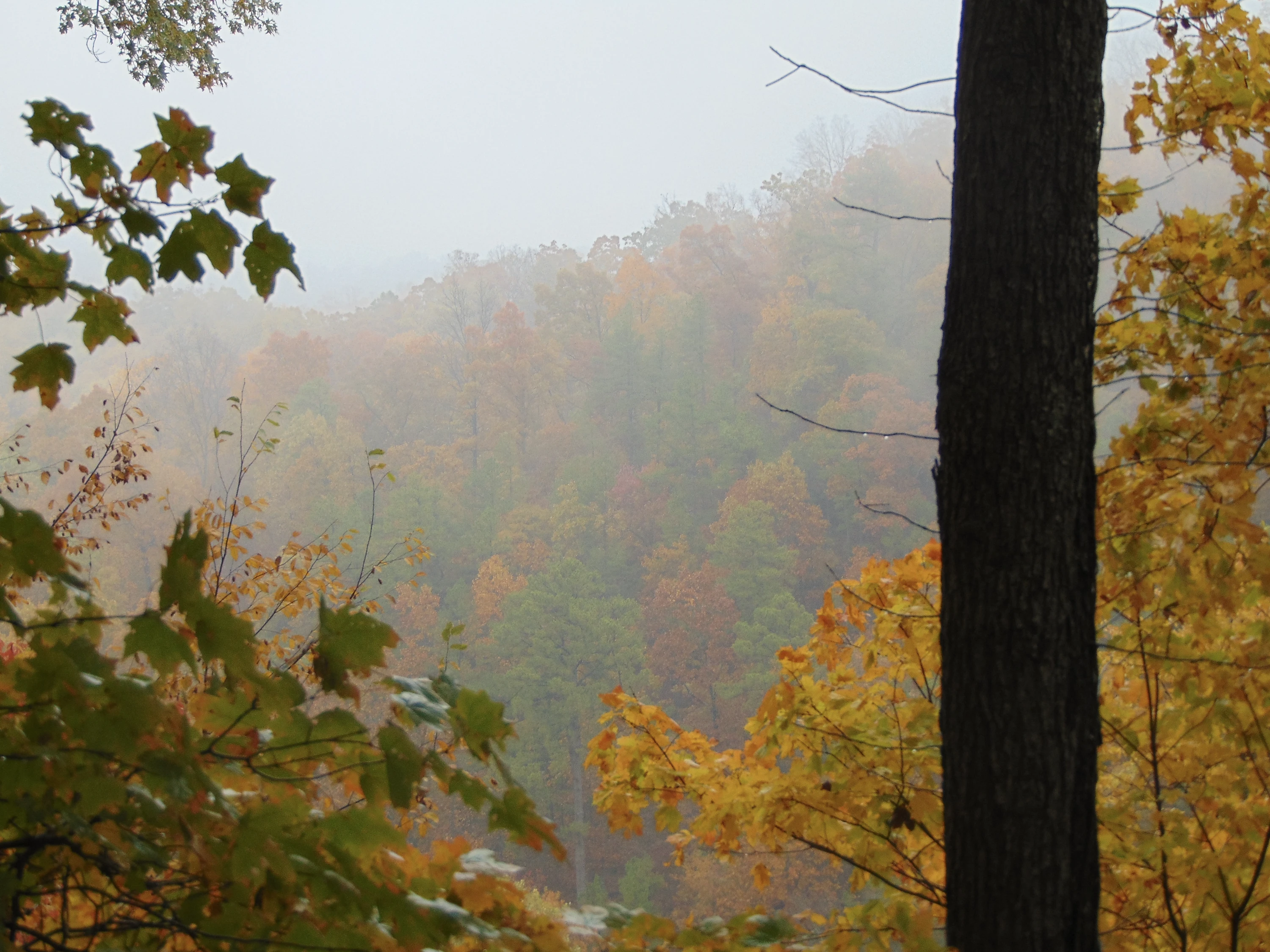
Clear Springs Wilderness, located on the west side of Shawnee National Forest, is one of the largest designated Wilderness areas in Illinois. Elevations range from 400 to over 900 feet, featuring rugged terrain with narrow ridgetops, steep slopes, and scenic creeks winding through the valleys. Adjacent to Bald Knob Wilderness to the south and the LaRue-Pine Hills/Otter Pond Research Natural Area to the west, Clear Springs is also defined by the waters of Hutchins Creek, which flows through the area. At the western boundary you'll find stunning views of the Mississippi and Big Muddy Rivers from sheer limestone bluffs that rise 400 feet above the valley floor. The deciduous forest, characteristic of the Ozarks, shelters wild turkeys, deer, and various smaller mammals, as well as threatened shortleaf pine, which grows in isolated stands. Hiking and equestrian trails meander through the Wilderness, where visitors can discover remnants of old homesteads, including stone foundations, fruit trees, abandoned roads, and family cemeteries. Hiking away from the steep valley walls is easy and enjoyable, with many secluded spots perfect for camping. No permits are required for trail use or camping.
Location
Reviews
No reviews yet.
U.S. Forest Service
- 0
- Reviews


