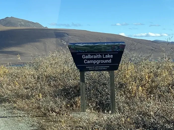
Galbraith Lake Campground
Hosted by Bureau of Land Management
New listing
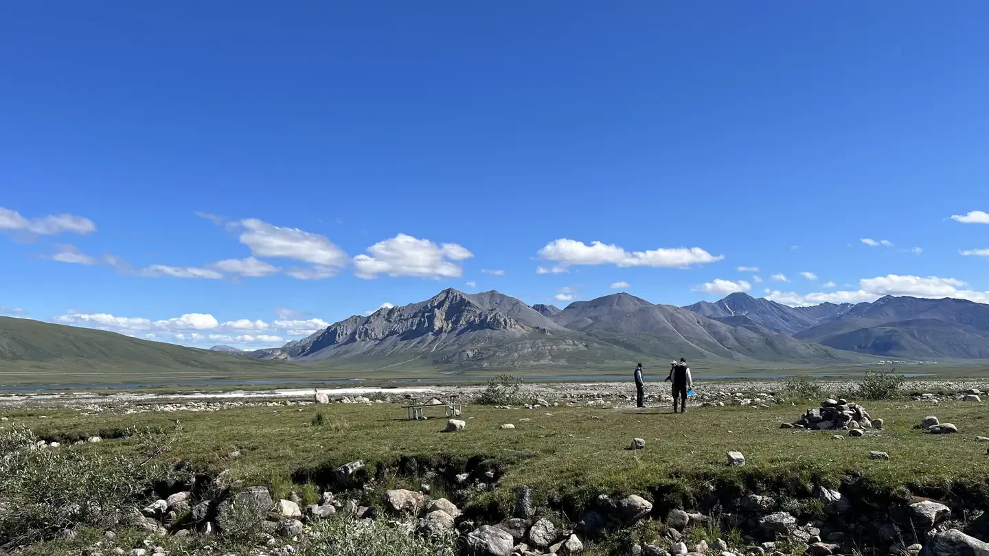
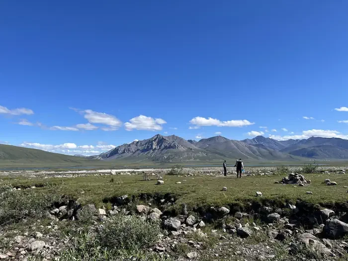
Galbraith Lake Campground is the only campground along the Dalton Highway situated north of the Brooks Range. The tundra environment affords stunning views of the Brooks Range and the north slope. Hiking can be found in almost any direction from the campground, which is an excellent basecamp for exploring the Brooks Range. There are 12 designated campsites. Please note that due to tundra, there is no firewood available in the vicinity of the campground. The roads and parking aprons have a gravel surface, and the twelve sites are pull-through, allowing easy access for RVs. The campground has a vault toilet, food storage lockers, and trash receptacles. Each campsite has a fire ring and picnic table. There is no electricity, no dump station and no potable water, though water can be filtered from a nearby creek. A camp-host may be onsite, and cell service may be available. The campsites are situated on the open tundra with spectacular views of the Brooks Range mountains. Galbraith Lake is located approximately 1.3 miles to the east, and a stream flows along the southern perimeter of the campground. The surrounding tundra and mountains provide habitat for ground squirrels, marmots, fox, sheep, caribou, wolf and brown bears. Many species of birds migrate north to breed in the area; some of the resident birds include ravens and ptarmigan. The Brooks Range offers excellent recreation opportunities, but very few are along designated routes. Hiking is plentiful in the mountains where ridges and drainages provide firm footing, while open tundra areas may have uneven and difficult footing due to tussocks. Hiking east from the highway will lead you to the Arctic National Wildlife Refuge, while hiking west of the highway will take you towards Gates of the Arctic National Park and Preserve. Choose your route with care and bring topographic maps, a GPS and a compass with you. State statute prohibits off-road vehicle use within five miles either side of the highway from the Yukon River to the Arctic Ocean. There are several excellent river trips in the vicinity. The Atigun and Sagavanirktok (the Sag) Rivers are Class III-IV+ whitewater for expert boaters only, with access to the Atigun at Milepost 271 and the Sag at MP 306; the Ivishak Wild and Scenic River is Class II, reached by chartered air service from Deadhorse or Coldfoot. Other recreational activities include bird watching and fishing. Drive a little further north and you will get expansive views of the north slope, with the possibility of seeing musk ox, caribou and other arctic dwelling wildlife.
Location

Photo unavailable
Site 1
1 · STANDARD NONELECTRIC · Overnight
- Campfire Allowed
- Yes
Campsites12
Dalton Highway
To respect the Host's privacy, the precise address of this land will be provided after booking
Amenities
Campfires allowed
Site features
Backpacking
Boating
Camping
Day Use Area
Fishing
Hiking
Hunting
Photography
Picnicking
Whitewater Rafting
Wilderness
Wildlife Viewing
Winter Sports
Reviews
No reviews yet.
Bureau of Land Management
- 0
- Reviews


