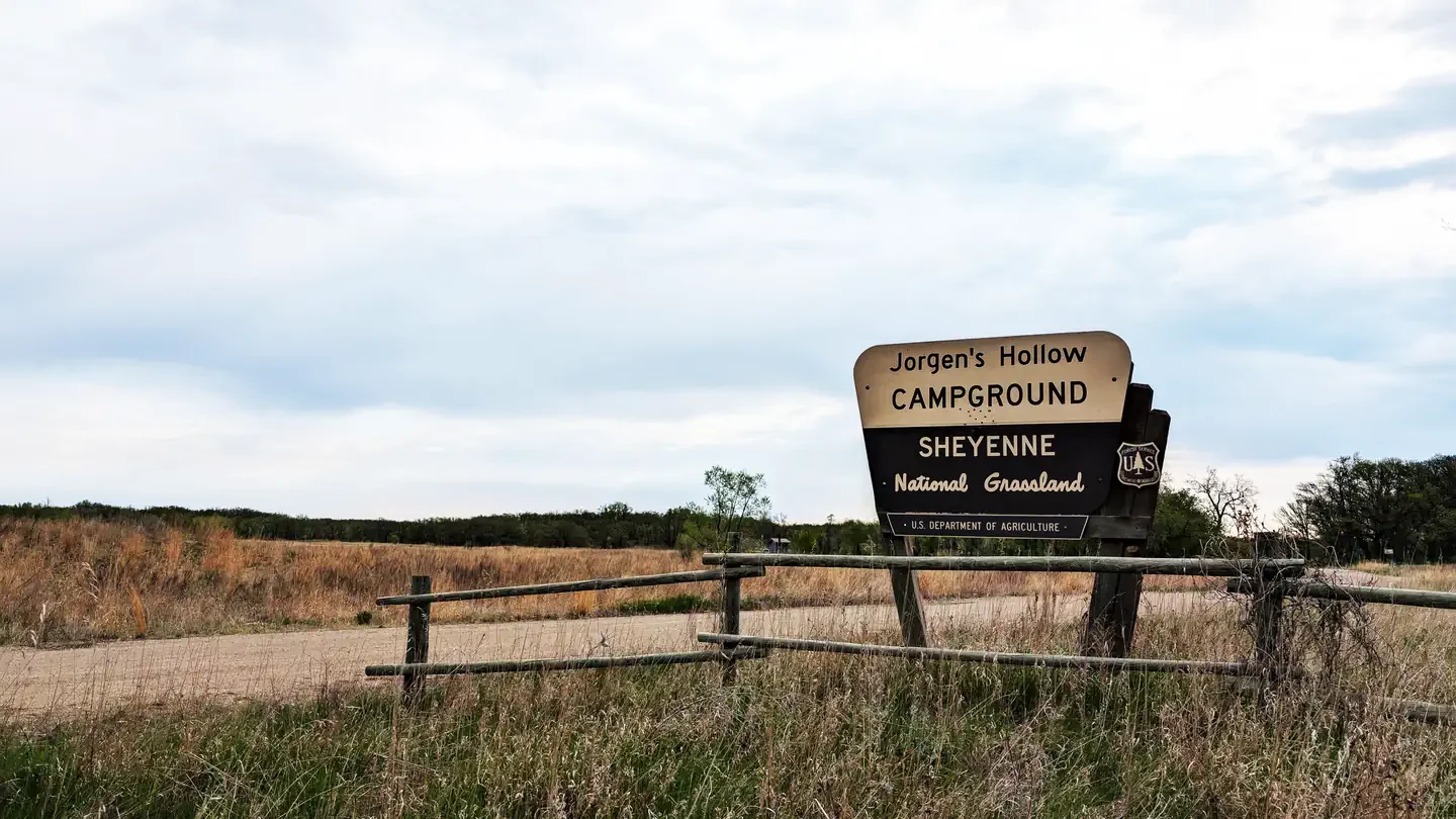
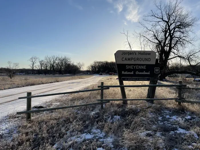
Jorgen's Hollow Campground
Hosted by USDA Forest Service
New listing
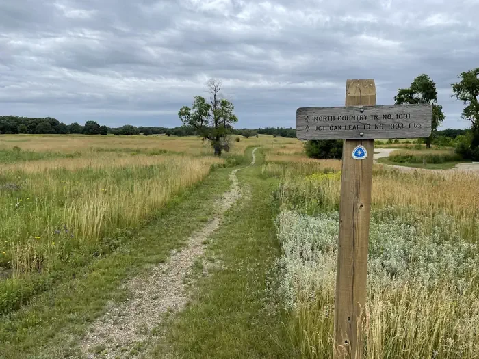
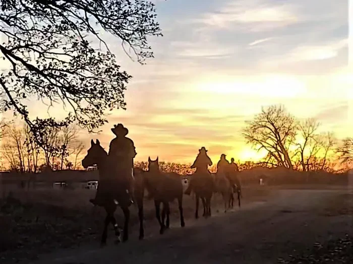
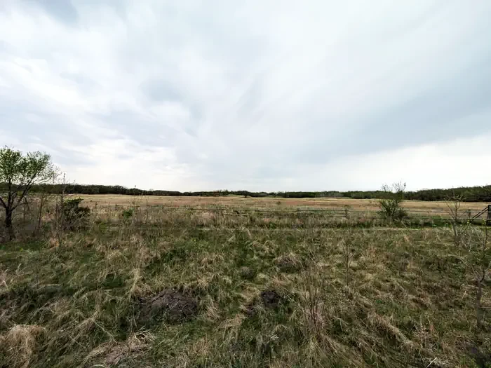
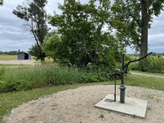
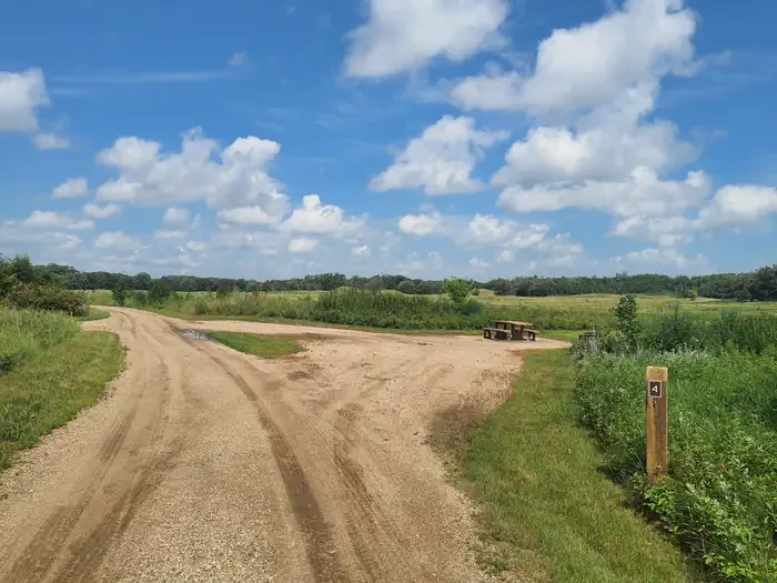
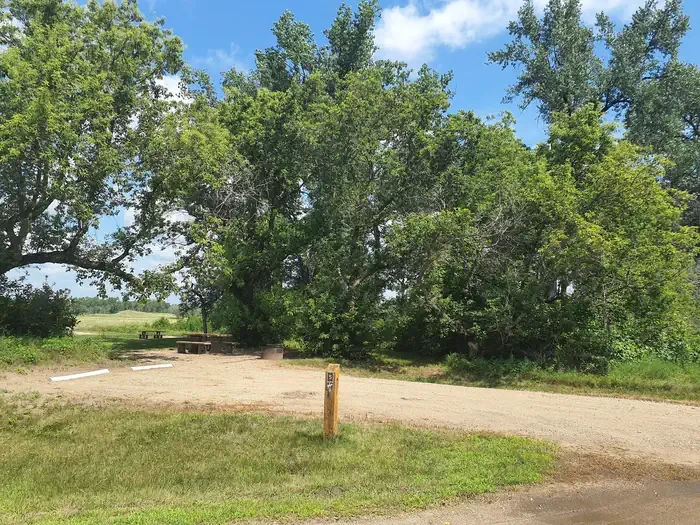
Jorgen's Hollow Campground is located within the Sheyenne National Grassland, part of the 70,000 acres of designated public lands managed by the U.S. Forest Service. The surrounding public lands are managed for multiple use to include cattle grazing, wildlife, recreation, and prescribed fire activities. The campground provides a semi-primitive camping opportunity with fourteen designated campsites separated into three loops: sites 1-3, 5, 6 and 12-14 are designated non-equestrian and sites 4 and 7-11 are designated equestrian. Two vault toilets and one potable water hand-pump are available. There are no electric or water hookups at any location, no RV dump station and no manure pit. All activities follow a pack-in pack-out policy. The campground shares a large parking area known as the East Trailhead, providing access to the North Country National Scenic Trail. Explore this area of the Sheyenne National Grassland for hiking, biking, equestrian use, canoeing, hunting, and wildlife viewing. Non-motorized activities are allowed on the 31-mile gravel surface North Country Trail, reached by three trailheads and the campground, and the 4-mile Oak Leaf Trail loop is also accessible from the campground. Water activities on the Sheyenne River are accessible by four hand-launch sites along 17 miles of the Sheyenne River Water Trail, whose final access point is 1.5 miles from the campground. Motor vehicle use is allowed on a network of designated forest roads, and all hunting activities follow North Dakota Game and Fish regulations. The geology of the Sheyenne National Grassland is characterized by shifting sand dunes and sandsheets surrounding the meandering Sheyenne River. The sand was deposited in an underflow fan in early stages of former glacial Lake Agassiz. As the water of the great glacial lake receded, the sand was exposed to the air. As a result there are three types of eolian landforms, or landforms created by wind: high-relief dunes, mainly restricted to within one or two miles of the Sheyenne River trench; low-relief dunes, less than 30 feet high with a hummocky, wind-blown surface generally stabilized by vegetation; and sandsheets, consisting of sand and silt that can be up to 10 feet thick in places. Blowouts, shallow depressions caused by removal of sand, occur in both the dunes and sandsheets where there is little or no vegetative cover to hold the sand in place. Today, native and non-native grasses cover the landscape with pockets of Bur Oak savannah and Aspen stands. The small town of McLeod, ND, offering food, camping, and a historic museum, is located 14 miles southwest of the campground. Fargo, ND is located 42 miles northeast, offering all the amenities of a metropolitan city of about 238,000.
- Pet friendly
Location
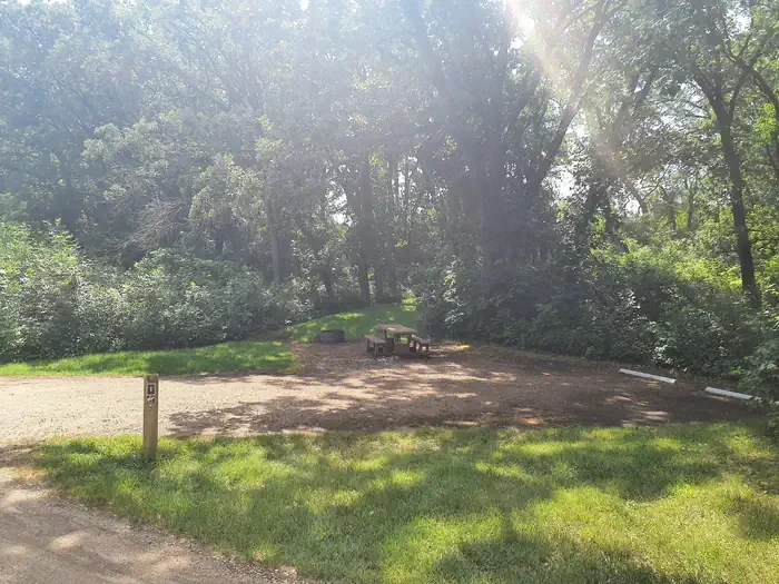
1
Central · STANDARD NONELECTRIC · Overnight
- Max Num of People
- 10
- Pets Allowed
- Yes
- Max Vehicle Length
- 30
- Campfire Allowed
- Yes
- Shade
- Yes
Campsites14
Mcleod, ND
Approximate location
To respect the Host's privacy, the precise address of this land will be provided after booking
ZIP code data © GeoNames (CC BY 4.0); population and land area: U.S. Census Bureau.
Amenities
Campfires allowed
Fire pits
Picnic tables
Shade
Site features
Driveway surface
Gravel
Max vehicle length
Up to 40 ft
Archery
Backpacking
Biking
Birding
Camping
Canoeing
Day Use Area
Fishing
Hiking
Horse Camping
Horseback Riding
Hunting
Kayaking
Mountain Biking
Photography
Snowmobile
Snowshoeing
Wildlife Viewing
Rules & policies
Check-in
2:00 PM
Check-out
2:00 PM
People per site
Up to 10
Vehicles per site
Up to 2
Pets allowed
Reviews
No reviews yet.
USDA Forest Service
- 0
- Reviews


