Kaw Lake
Hosted by US Army Corps of Engineers
New listing
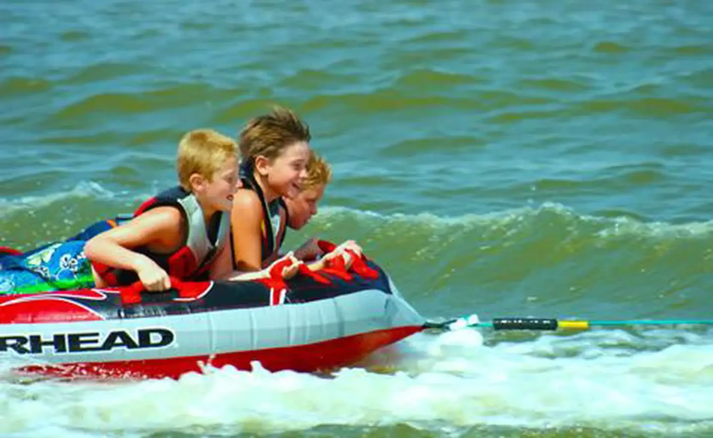
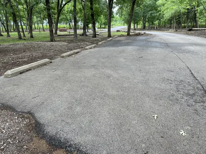
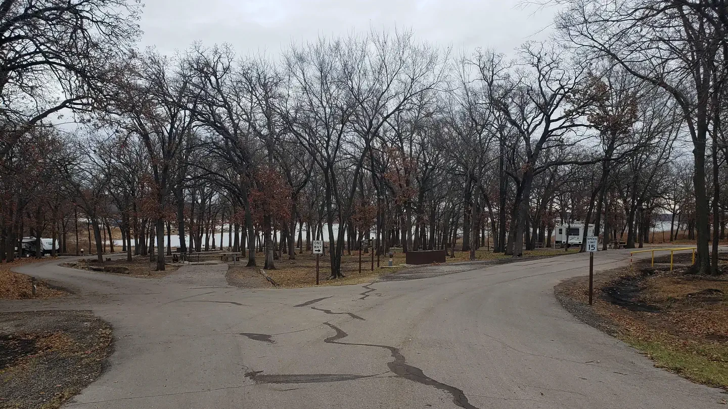
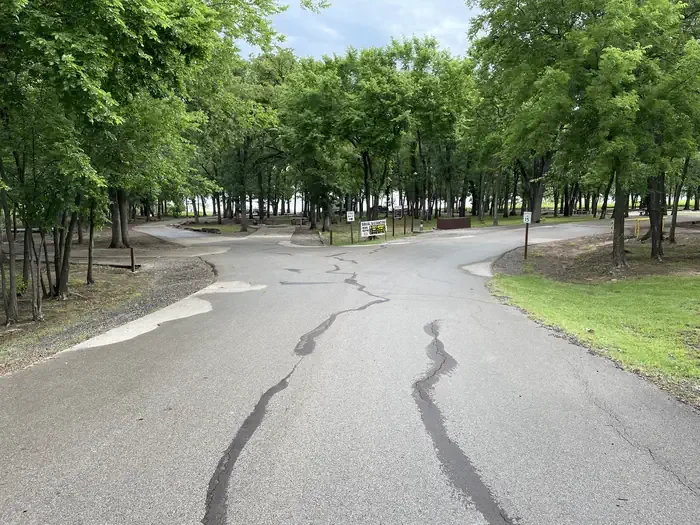
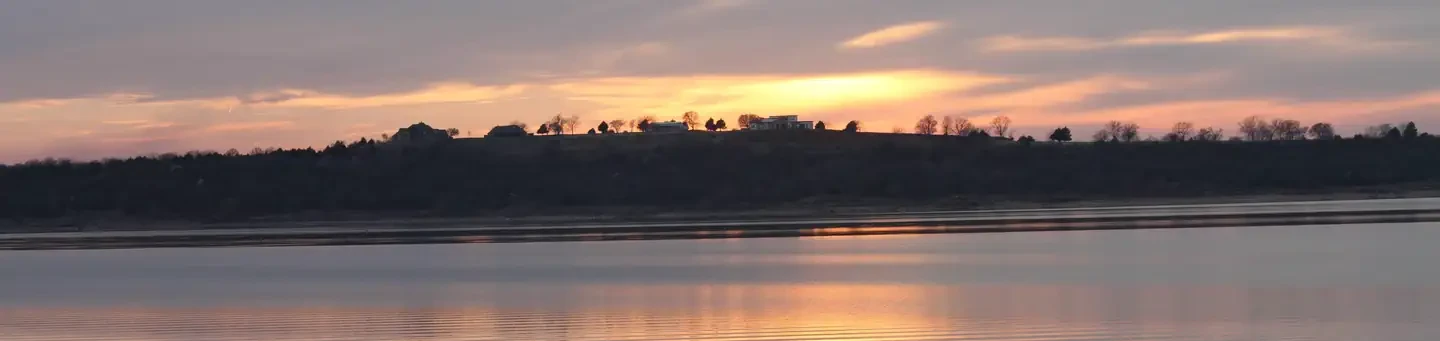
Kaw Lake is located in north central Oklahoma, approximately 8 miles east of Ponca City on the Arkansas River. Project land extends northward into Kansas, ending near Arkansas City. The lake covers 17,000 surface acres and has 168 miles of shoreline at the normal elevation of 1010.00 feet above sea level. Ground breaking was held in May 1966, impoundment occurred in 1976, and construction on the recreation facilities concluded in July of 1980 with the completion of the Osage Cove Public Use Area. There are nine public use areas and two lake access points around the lake. Campers can select from over 300 family campsites, many equipped with water and electric hookups. Groups of all types enjoy four group camping areas, three at the Osage Cove Public Use Area and one at the Sarge Creek Cove Area; use of the group camping areas is by reservation only. Ten boat launching ramps provide easy access to the water, where boaters can find two full service marinas at McFadden Cove and Pioneer Park. Swimmers are invited to enjoy designated swimming areas at Pioneer Park and Sandy Park. Kaw Lake and the Arkansas River have long been known for producing some of Oklahoma's largest catfish, and the lake also offers anglers excellent opportunities to catch crappie, sand (white) bass and walleye. Hunters' skills are tested with excellent populations of whitetail deer, turkey, quail, rabbit and squirrel, and during the fall waterfowl seasons Kaw Lake often attracts large numbers of migrating ducks and geese. One of Kaw Lake's most popular winter attractions is the American Bald Eagle. Traditionally, Kaw Lake has one of the state's largest populations of wintering bald eagles, and numerous sites around the lake offer excellent viewing opportunities. Peak viewing usually occurs shortly after the first of the year and lasts through January. Hikers and horseback riders are attracted to the beautiful trails along Kaw Lake's eastern shore. The Eagle View Hiking Trail is approximately 12 miles long and runs between Osage Cove and Burbank Landing. The Five Fingers Equestrian Trail extends from Burbank Landing to the Sarge Creek Cove Public Use Area. Users should be aware that both trails are closed during Oklahoma's deer rifle and primitive firearms seasons.
Campground Locations
Osage Cove
Burbank, OK
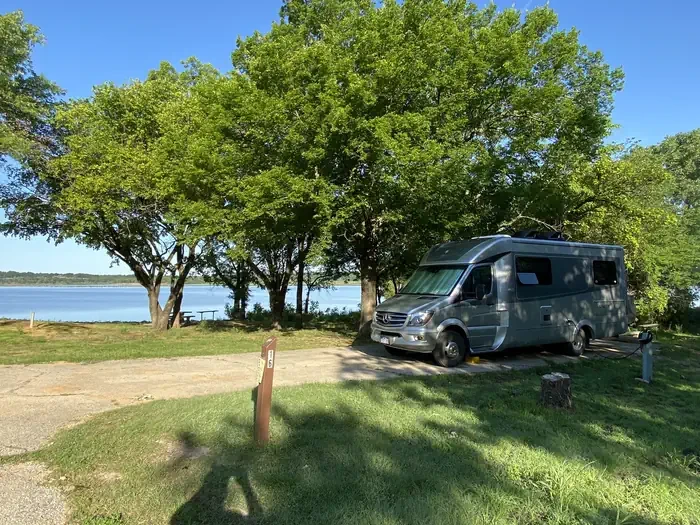
Bear Creek Cove
Ponca City, OK
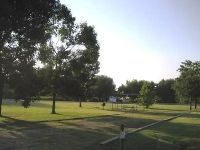
Coon Creek (ok)
Ponca City, OK
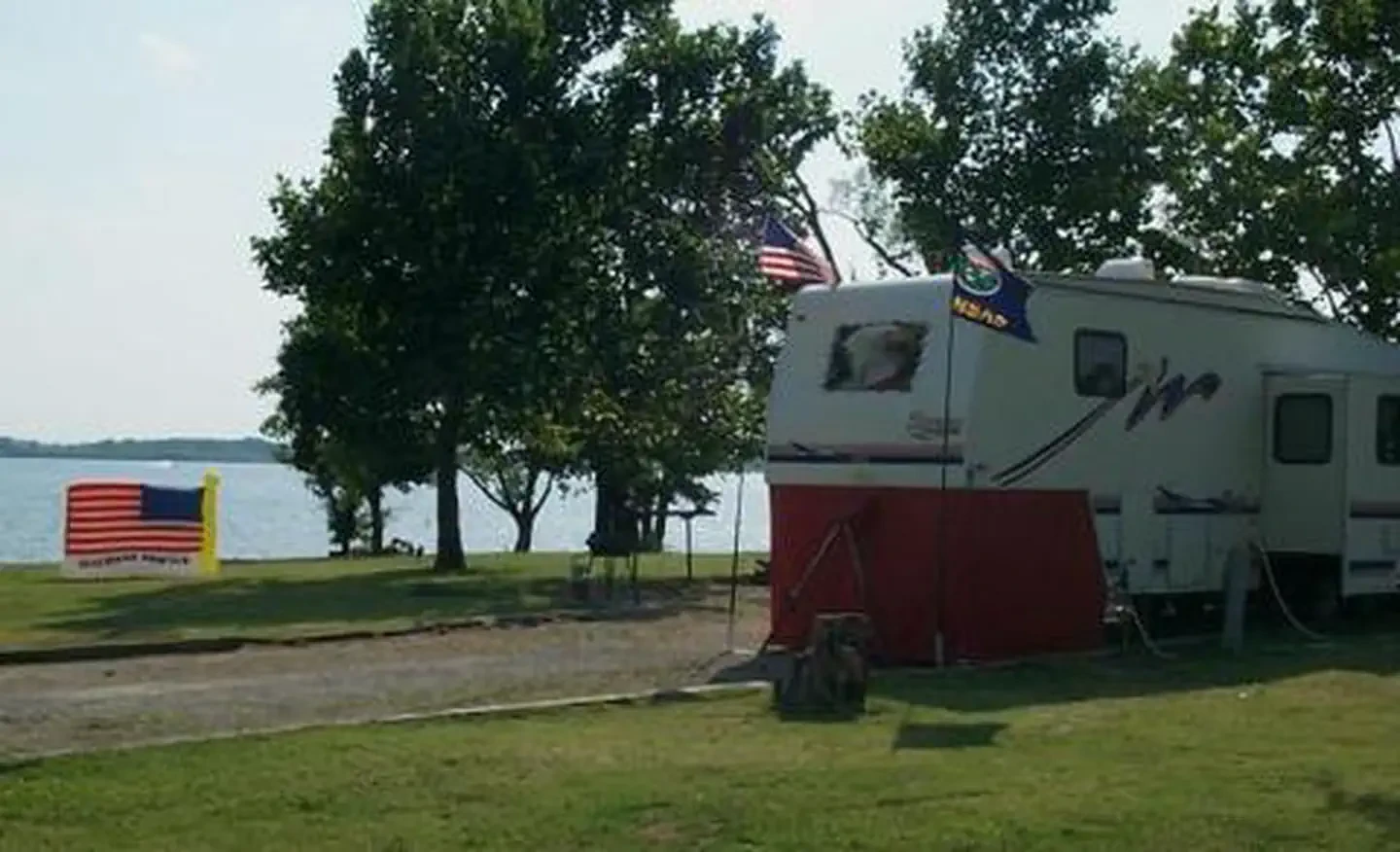
Sarge Creek
Ponca City, OK
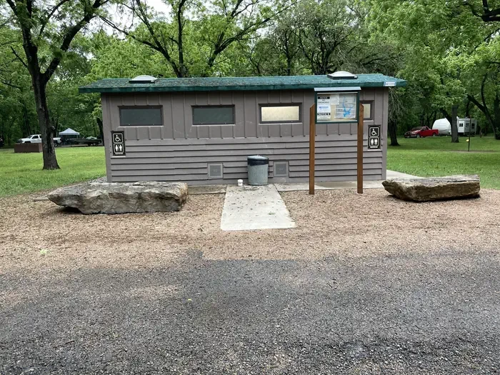
Sandy Park
Ponca City, OK
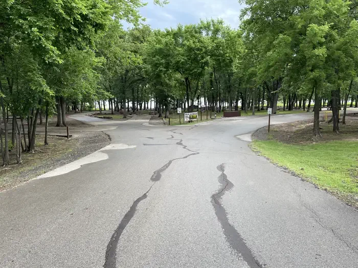
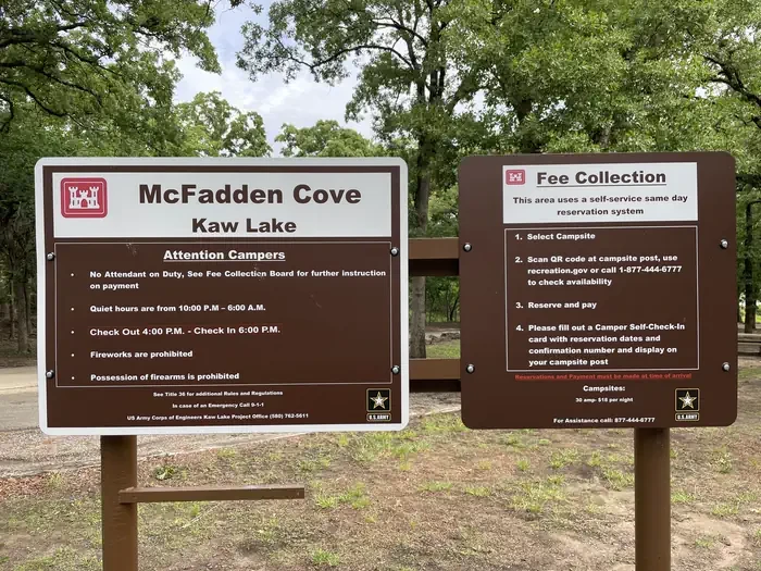
McFadden Cove
Ponca City, OK
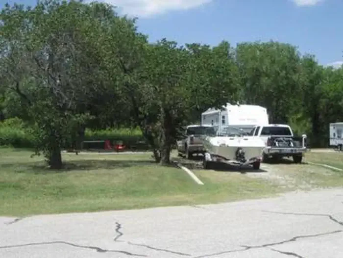
Washunga Bay
Ponca City, OK
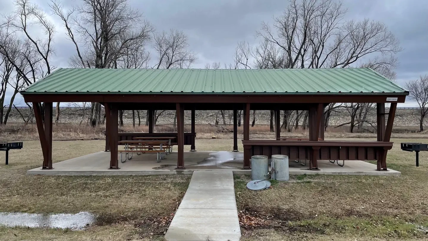
Sandy Beach Picnic Shelter
Ponca City, OK
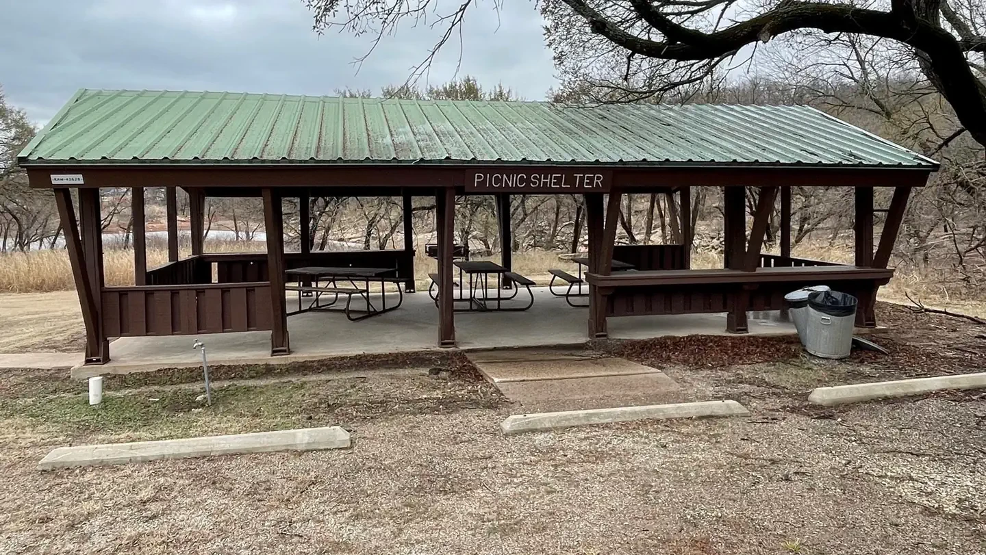
McFadden Day Use Picnic Shelter
Kaw Lake
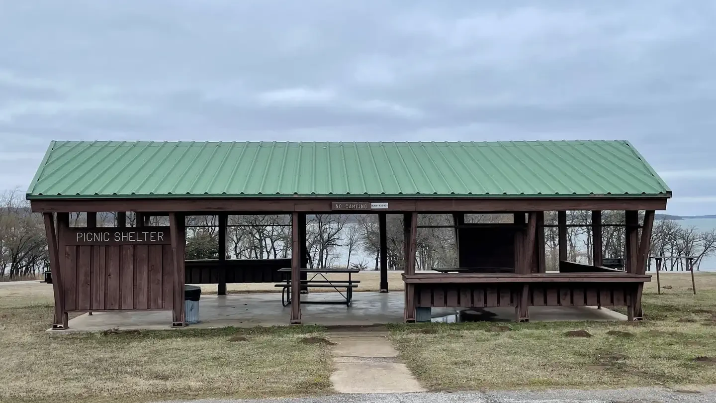
Pioneer Cove Picnic Shelter
Ponca City, OK
Location
Site features
Biking
Boating
Camping
Environmental Education
Fishing
Hiking
Off Highway Vehicle
Other Recreation Concession Site
Picnicking
Playground Park Specialized Sport Site
Water Sports
Wildlife Viewing
Reviews
No reviews yet.
US Army Corps of Engineers
- 0
- Reviews


