Narragansett Bay National Estuarine Research Reserve
Hosted by National Oceanic and Atmospheric Administration
New listing
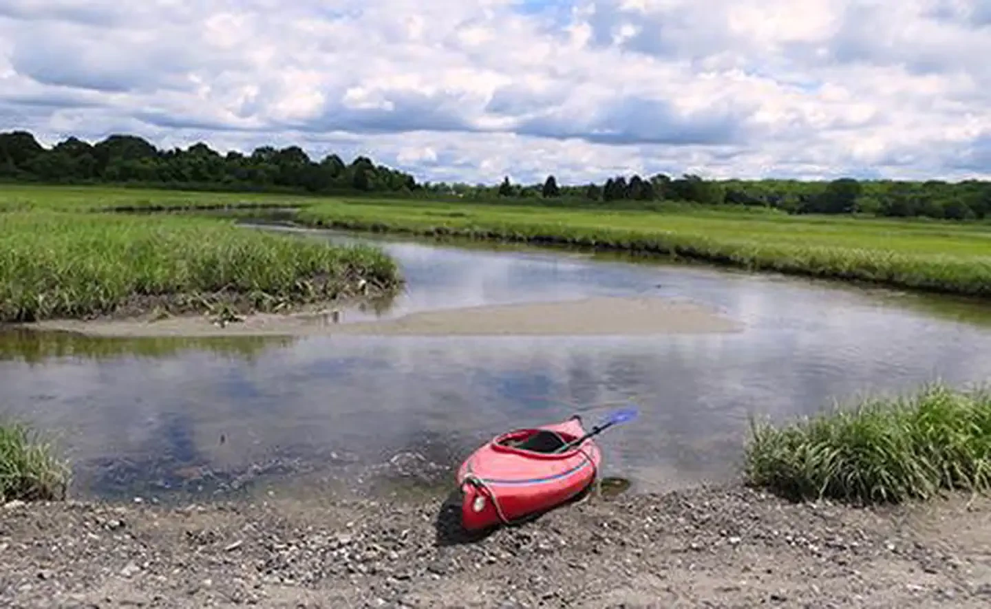
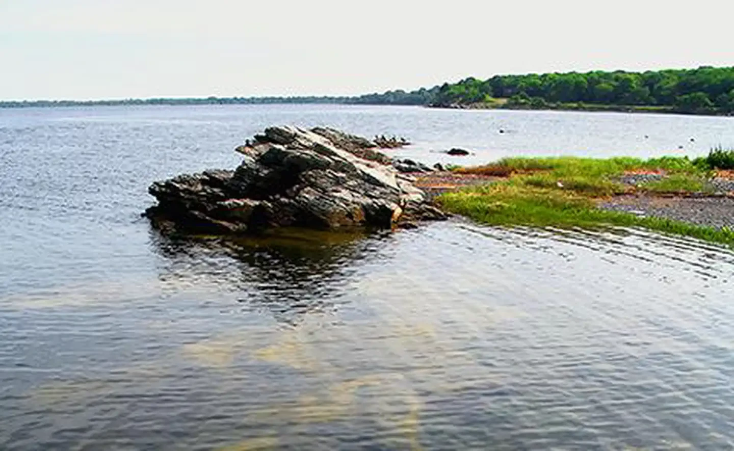
The reserve encompasses 2,579 acres of land on Prudence, Patience, Hope and Dyer islands, and 1,843 acres of water adjoining the islands out to a depth of 18 feet. Prudence Island, the only inhabited and accessible island of the four, has experienced many changes over the course of hundreds of years. Since the 1600's the island has been used by a variety of people — native Americans, tenant farmers, British soldiers, wealthy summer residents and now a mix of year-round and summer residents. The U.S. military established a presence on the island during World War II, and the Navy remained until the land was turned over to the state of Rhode Island in 1972. Prudence Island has a variety of habitats to explore, from rocky shoreline to pine barrens, deciduous oak, freshwater swamp, salt marsh and coastal grasslands; these habitats support a variety of wildlife including a large population of white-tailed deer. Ticks are an ever-present issue on Prudence, and great care should be taken while exploring the island, even on well-marked trails.
Location
Site features
Biking
Fishing
Hiking
Paddling
Photography
Picnicking
Swimming
Reviews
No reviews yet.
National Oceanic and Atmospheric Administration
- 0
- Reviews


