Rob Jagger's Campground
Hosted by Bureau of Land Management
New listing
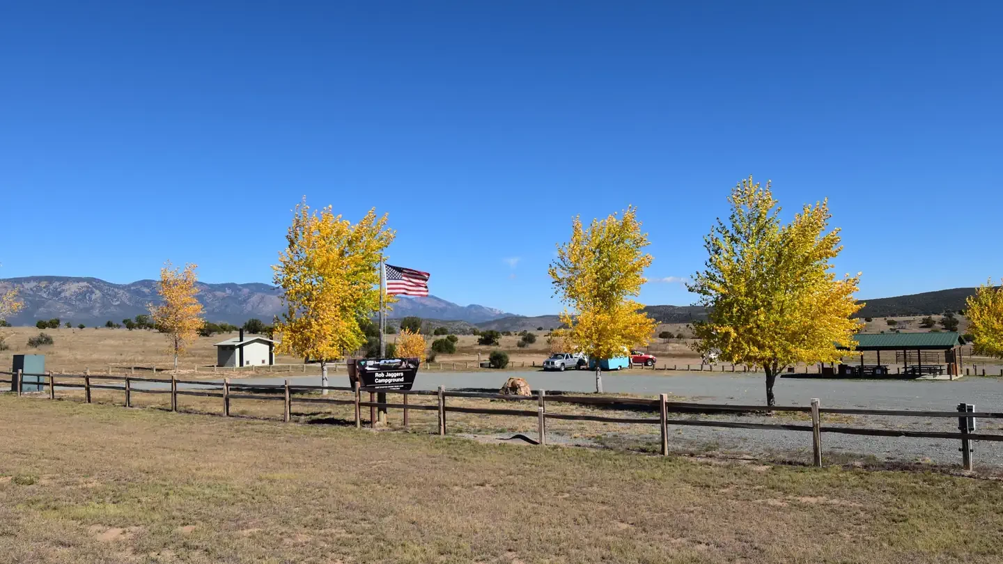
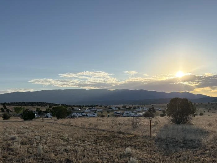
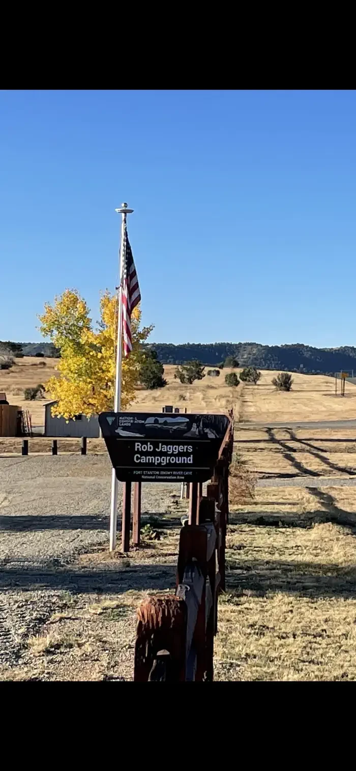
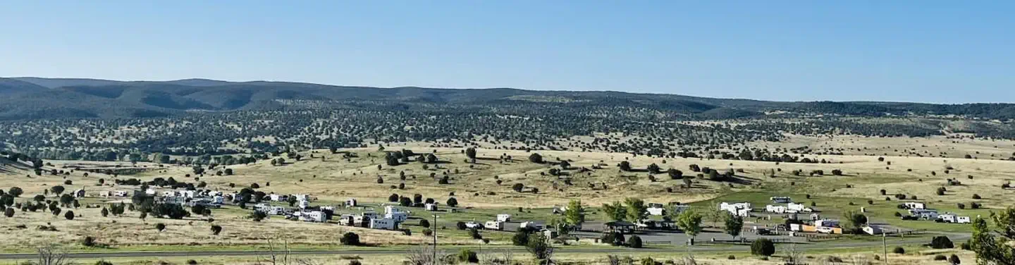
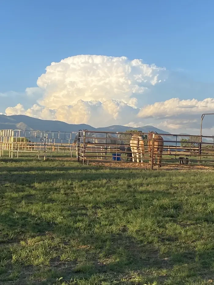
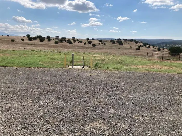
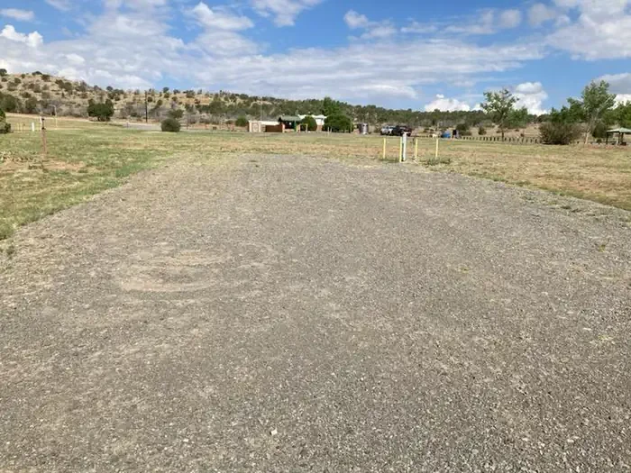
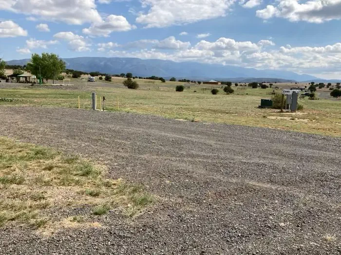
Rob Jaggers Camping Area consists of 27 campsites with electricity and potable water hookups, with other potable water outlets scattered throughout, plus two large day-use parking areas, two vault toilets, and facilities for staging horseback riding. Campsites and horse corrals are first-come, first-served. There is water and electricity at the group shelter. Camping is restricted to the campground; no camping is permitted in the day use parking area. The Fort Stanton NCA is open to overnight camping with a 14-day maximum length of stay, and vehicles may pull off any of the dirt roads, but no more than 90 feet from the road. There are two formal camping areas: the Rob Jaggers Camping Area on NM 220 and the small Cave Campground near the Fort Stanton Cave entrance, which has several tables and fire rings as well as a vault toilet, reached by a graveled access road. Surrounding the campground is the Fort Stanton Snowy River Cave National Conservation Area. At around 6,300 feet elevation, the NCA offers a diverse habitat of high desert cedar and juniper hillsides with Ponderosa Pine stringers and hardwoods meandering through the canyon bottoms. It has many opportunities for hiking, caving, horseback riding, mountain biking, camping, visiting cultural and historic sites, picnicking, hunting, wildlife viewing, nature study, and photography. The NCA has 73 miles of sustainable horseback, mountain biking, and hiking trails that wind through open meadows and canyons, marked with flexible fiberglass markers carrying the trail name or an arrow. Cross-country horse and foot travel is allowed; mountain bikes are strongly encouraged to stay on established trails to protect both rider and landscape. The trails offer great views of the surrounding Sacramento and Capitan Mountains, and the majority start at the Rob Jaggers Camping Area on NM 220, where you will find hitching rails, water for your animals, and a vault toilet. The Rio Bonito Petroglyph National Recreation Trail follows the Rio Bonito, and at its midpoint, in the river bed, is Petroglyph Rock. Etched on this rock are depictions of an ancient people known as the Jornada Mogollon who have long since left the area; very little evidence has stood the test of time, but here remains a link to their culture and lifestyle. The trail is reached from NM 220 west of the Sierra Blanca Regional Airport, following the highway signs for "Upper Rio Bonito" to the bottom of the hill, then right for approximately 250 feet and the next left to the trailhead; high-clearance vehicles are recommended. Petroglyph Rock is a short 450-foot walk from the parking area, and the loop trail is roughly 2.1 miles of easy-to-moderate hiking with a few hills and areas of loose footing, about an hour's outing. Historic Fort Stanton is one of very few intact frontier forts in the West, and many of the original buildings still stand; from 1855 to 1896 the fort hosted some of the most colorful units and personalities of the West, and it later served as a Merchant Marine hospital and tuberculosis sanatorium and a World War II prisoner of war camp. The Fort Stanton Museum is open daily. Fort Stanton Cave, with over 40 miles of mapped passages, is widely known for its rare velvet formations along with helictites, aragonite, selenite needles, and various forms of gypsum; it is closed in winter to protect hibernating bats, and is currently under a recreational caving moratorium because of the threat of White Nose Syndrome. The Snowy River passage, whose calcite deposit glistens like snow and may be the longest calcite formation in North America, is not open to the public because of its scientific importance. Nearby towns include Capitan, about 5 miles west on U.S. Highway 380 and known as the birthplace of Smokey Bear; Lincoln, 8 miles east, famous for the Lincoln County Wars and the exploits of Billy the Kid and Sheriff Pat Garrett; and Ruidoso, a resort town with a horse racetrack, the Ski Apache resort, and a casino. The Bureau of Land Management's Valley of Fires Recreation Area, four miles west of Carrizozo on US Highway 380 and approximately 27 miles west of the campground, offers both camping and day use: most campsites have 30- and 50-amp electrical hookups, water hookups, picnic shelters, tables, trash cans and barbeque grills, two of the RV sites are accessible as are the restrooms, showers are provided in the main restroom and shower house, an RV dump station is available, and two wheelchair-accessible group shelters can be rented. The 3/4 mile Malpais Nature Trail there offers a close-up look at the lava surface.
- Pet friendly
Location

Photo unavailable
Group Shelter Electric
Rob Jagger · GROUP SHELTER ELECTRIC · Overnight
- Max Num of People
- 30
- Pets Allowed
- Yes
- Capacity/Size Rating
- N/A
- Campfire Allowed
- Yes
- Shade
- Yes
Campsites28
Fort Stanton, NM
To respect the Host's privacy, the precise address of this land will be provided after booking
Amenities
Camp host
Campfires allowed
Electric hookups
Fire pits
Picnic tables
Shade
Vault toilets
Water hookups
Site features
Driveway surface
Gravel
Car
Caravan / camper van
Fifth wheel
Horse
Pickup camper
Pop up
RV
Small tent
Tent
Trailer
Vehicle
Backpacking
Biking
Birding
Camping
Day Use Area
Hiking
Horse Camping
Horseback Riding
Hunting
Mountain Biking
Photography
Picnicking
Star Gazing
Wildlife Viewing
Rules & policies
Check-in
2:00 PM
Check-out
11:00 AM
People per site
Up to 30
Vehicles per site
Up to 15
Pets allowed
Reviews
No reviews yet.
Bureau of Land Management
- 0
- Reviews


