Wilderness Road Campground
Hosted by National Park Service
New listing
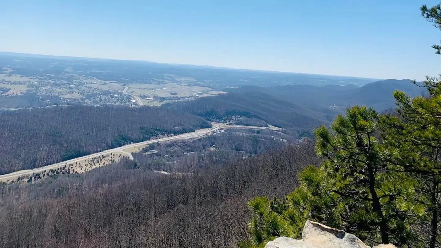
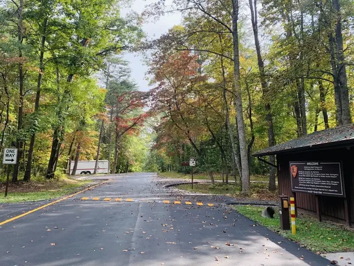
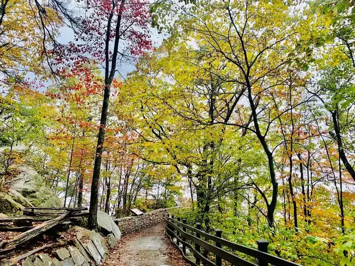
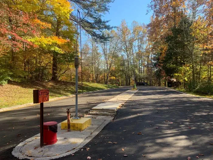
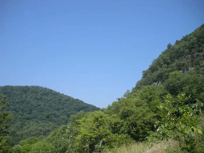
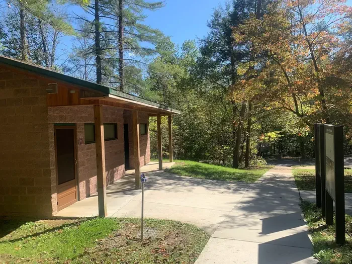
Wilderness Road Campground is nestled in the lush forests of the Appalachian Mountains in Cumberland Gap National Historical Park, where Kentucky, Tennessee, and Virginia meet. You can access miles of forest and mountain trails directly from the campground. While in the park, drive up to the Pinnacle for a breathtaking view of the mountains or check out Civil War earthworks. Hike to the pale cliffs of White Rocks, the gaping mouth of Sand Cave, or the historic Hensley Settlement to see how mountain folk once lived. Stand in three states at the same time, or walk a path once traveled by the bison, Native American, longhunter, and pioneer — the narrow mountain gap where Daniel Boone stood and where thousands of people risked everything to reach and settle what would become America. The campground is about 3 miles from the park visitor center, off Highway 58 in Virginia, with 151 wooded sites open to tents, trailers, and RV campers. Electrical hookups (20-, 30-, or 50-amp) are available at 43 sites in loops B and C, and group sites are also available. Hot showers and potable water are located in the comfort stations, and a dump station for campground reservation holders is near the entrance station. Sites are accessed through paved loop roads, and most require backing in, with the exception of one pull-through site. The campground is open year-round with limited campsites, and the comfort station between loops C and D stays open during the winter season, mid-November to mid-March. Over 85 miles of trails offer plenty of opportunities for hiking and backpacking — an easy quarter-mile stroll or a challenging 10-mile hike in the backcountry, the choice is yours. Several trails meander through over 14,000 acres of proposed wilderness, and backcountry camping is allowed at 5 designated sites in the park with a free permit obtained at the visitor center. Picnicking at one of several picnic areas is a popular activity, and picnic shelters can be reserved for exclusive day use at the park visitor center up to 3 months in advance. Horseback riding is permitted on the 17-mile Ridge Trail, which extends from the Pinnacle to White Rocks. Guided tours, hikes, and programs range from Pioneer and Civil War living history demonstrations to guided tours of Gap Cave and the historic Hensley Settlement, plus campfire programs; offerings vary seasonally and fees are charged for the Gap Cave and Hensley Settlement tours. Cumberland Gap National Historical Park protects 24,000 acres of Appalachian Mountain habitat stretching across Kentucky, Tennessee, and Virginia, along trails that Daniel Boone and thirty axemen blazed to open the first great gateway to the West. The Gap itself, carved out over aeons by wind and water, forms a V-shaped notch in the formidable wall of the Appalachian Mountains — a natural low point that made crossing easier for bison and other animals, then Native Americans, and later European explorers and early pioneers; over 300,000 settlers crossed here on their journey west. The cliffs of White Rocks rise 500 feet above the surrounding wooded slopes at the east end of the park, rewarding a challenging hike with a 360-degree view. Sand Cave is a half-domed chamber 250 feet across in front, its floor sloping from back to front over 1.25 acres of fine, colorful sand. Skylight Cave lies at the end of a steep, 1.9-mile hike in Ewing, Virginia, starting on Lewis Hollow Trail from the picnic area near the campground and passing through lush rhododendrons and along a river. Gap Cave, found by Dr. Thomas Walker in 1750, is 18.5 miles long and accessible only by guided tour. Chimney Rock, a pillar-shaped formation at the Pinnacle Overlook, could have taken 535 million years to form; Gap Creek is a small cascade flowing out of Gap Cave; and Yellow Creek runs along the park boundary behind the New and Old Bartlett Park picnic shelters. East of the Gap, the Cumberland Mountain Range includes 15,470 acres of roadless habitat extending 15 miles along the exceedingly steep and rugged Cumberland and Brush Mountains, whose ridge forms the Kentucky-Virginia state line.
- Pet friendly
Location
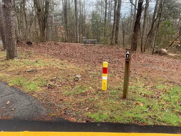
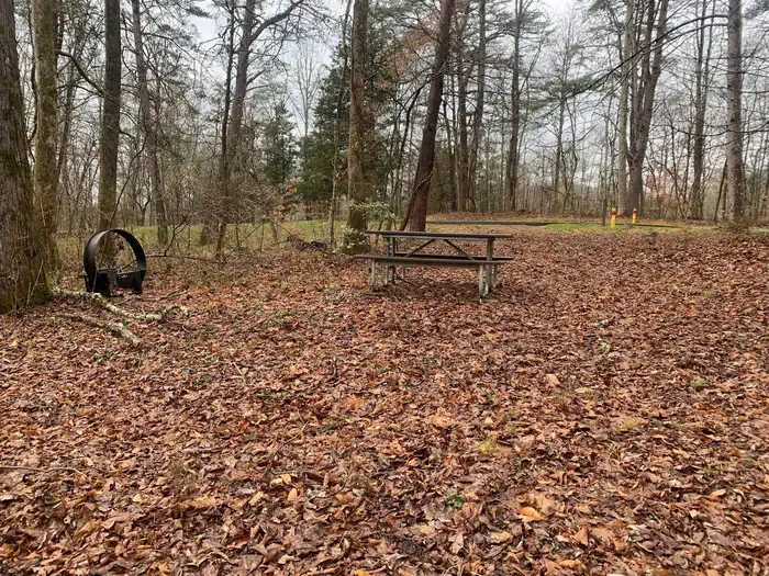
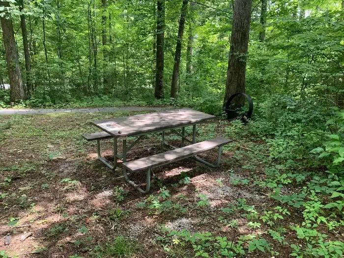
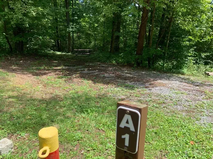
A-01
A · STANDARD NONELECTRIC · Overnight
- Max Num of People
- 8
- Pets Allowed
- Yes
- Capacity/Size Rating
- Single
- Max Vehicle Length
- 32
- Campfire Allowed
- Yes
- Shade
- Yes
Campsites151
Ewing, VA
To respect the Host's privacy, the precise address of this land will be provided after booking
Amenities
Accessible campsites
2 sites
Campfires allowed
Electric hookups
Fire pits
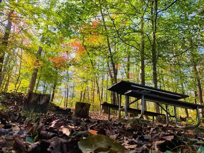
Picnic tables
Shade
Showers
Site features
Driveway surface
Gravel (varies by site)
Max vehicle length
Up to 32 ft
Site length
Up to 32 ft
Site width
Typically 14 ft, up to 18 ft
Car
Up to 10 ft
Caravan / camper van
Typically 22 ft, up to 36 ft
Fifth wheel
Typically 22 ft, up to 28 ft
Large tent, over 9x12
Pickup camper
Typically 22 ft, up to 36 ft
Pop up
Typically 22 ft, up to 28 ft
RV
Typically 32 ft, up to 36 ft
Small tent
Tent
Trailer
Typically 22 ft, up to 28 ft
Vehicle
Up to 10 ft
Amphitheater
Biking
Birding
Camping
Caving
Day Use Area
Environmental Education
Guided Interpretive Walks
Hiking
Historic & Cultural Site
Information Site
Interpretive Programs
Photography
Picnicking
Recreation Programs
Scenic Drive
Visitor Center
Wilderness
Rules & policies
Check-in
2:00 PM
Check-out
12:00 PM
People per site
Up to 8
Vehicles per site
Up to 2
Camping equipment required
Pets allowed
Reviews
No reviews yet.
National Park Service
- 0
- Reviews


