Blackwater National Wildlife Refuge Waterfowl Hunt Permits
Hosted by Fish and Wildlife Service
New experience
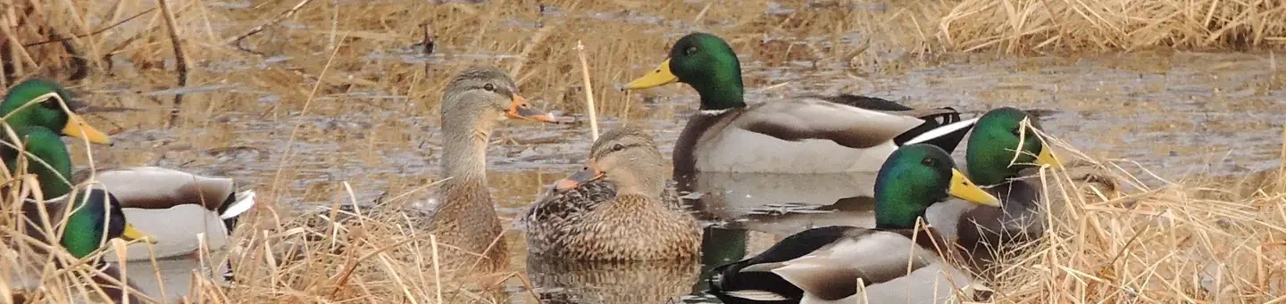
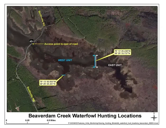
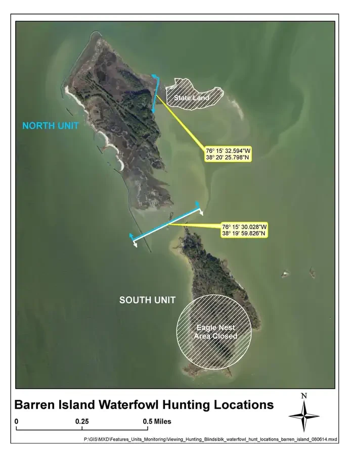
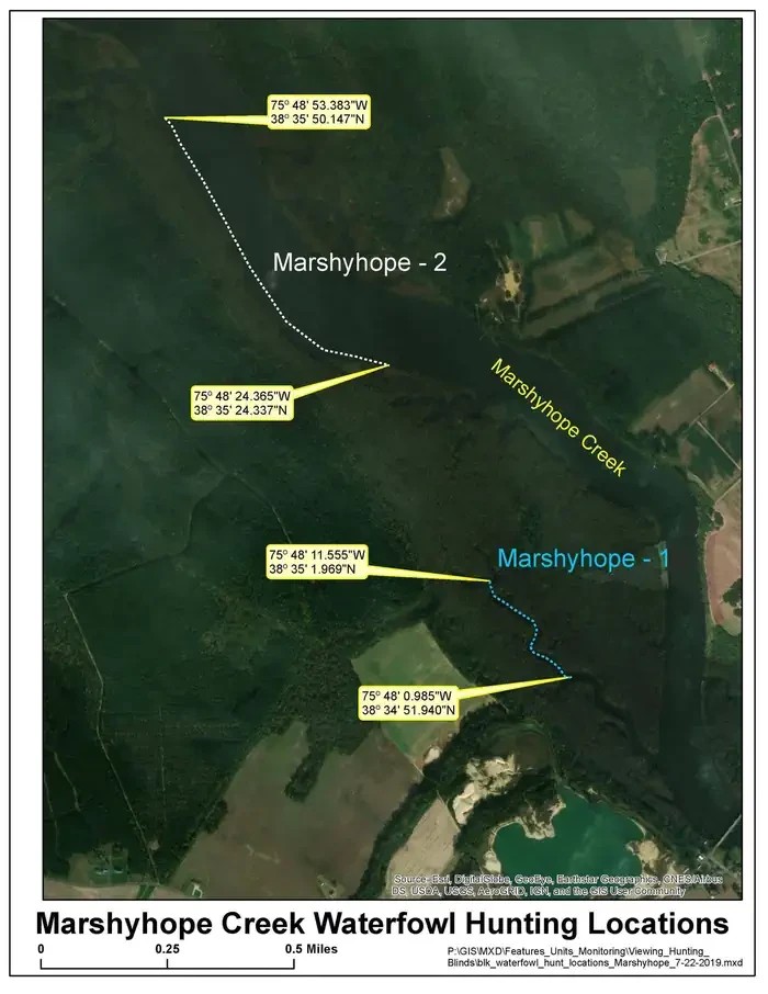
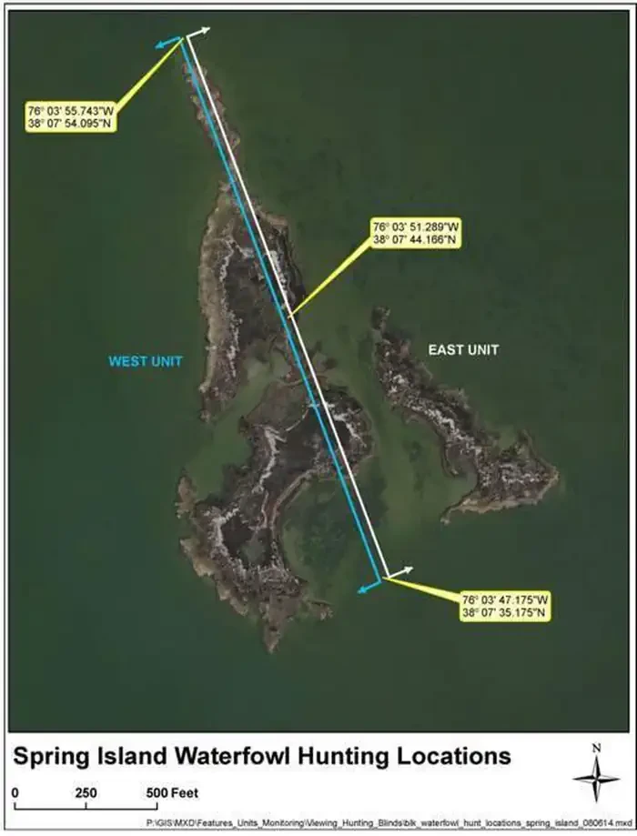
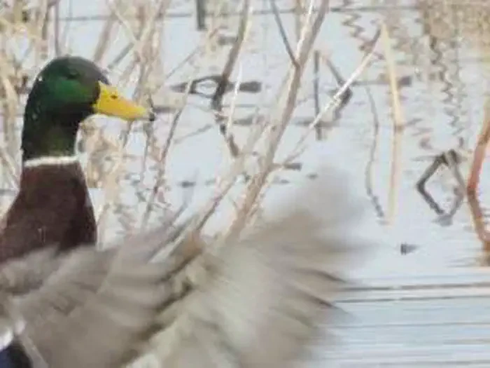
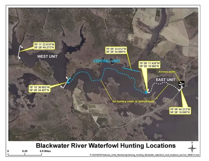
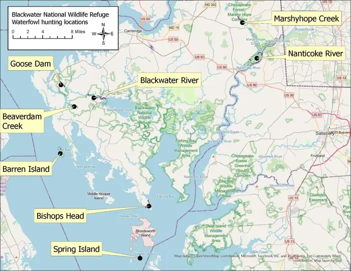
The Blackwater National Wildlife Refuge waterfowl hunt covers several separate locations across the refuge and the tidal country around it, on Fish and Wildlife Service land. A refuge map names them: Goose Dam, Blackwater River, Beaverdam Creek, Barren Island, Bishops Head, Spring Island, Marshyhope Creek and the Nanticoke River, spread between the open bay on the west and the farm-and-woodland interior to the east. Aerial imagery of the individual locations shows what each one is. Beaverdam Creek and the Blackwater River are broad brown tidal marshes cut by winding channels, divided into west, central and east units. Barren Island and Spring Island are low, largely bare islands set in shallow green water, worked by the tide into thin spits and shoals. Marshyhope Creek runs as a dark wooded corridor between cleared fields. Ground photographs show mallards on the water among flooded stubble and dry standing reeds, drakes and hens together at the marsh edge.
Location
Blackwater National Wildlife Refuge Waterfowl Hunt Permits
To respect the Host's privacy, the precise address of this land will be provided after booking
Reviews
No reviews yet.
Fish and Wildlife Service
- 0
- Reviews
Meet your host, Fish and Wildlife Service
You might also like...
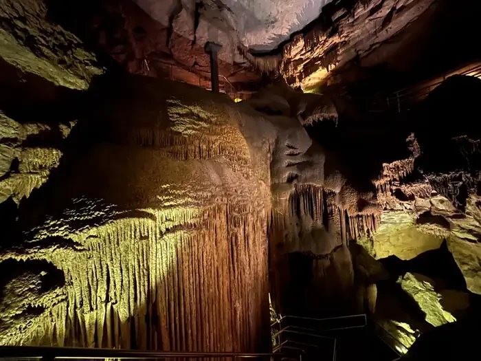
Grand Avenue
Mammoth Cave, KY
NewFee Unknown
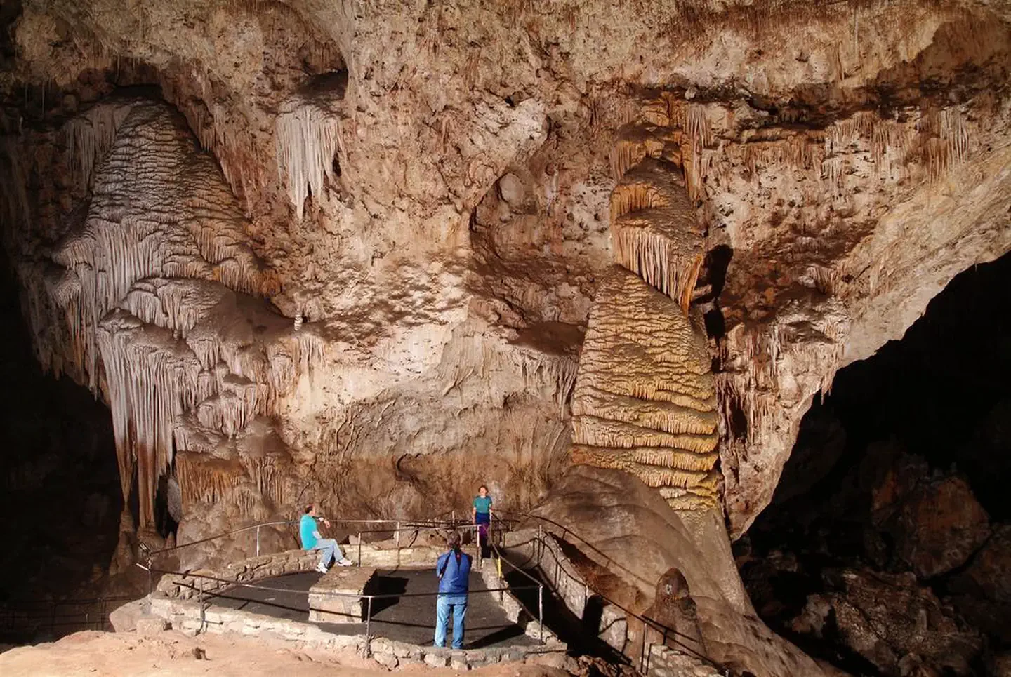
Self-Guided Tour
Carlsbad, NM
NewFee Unknown
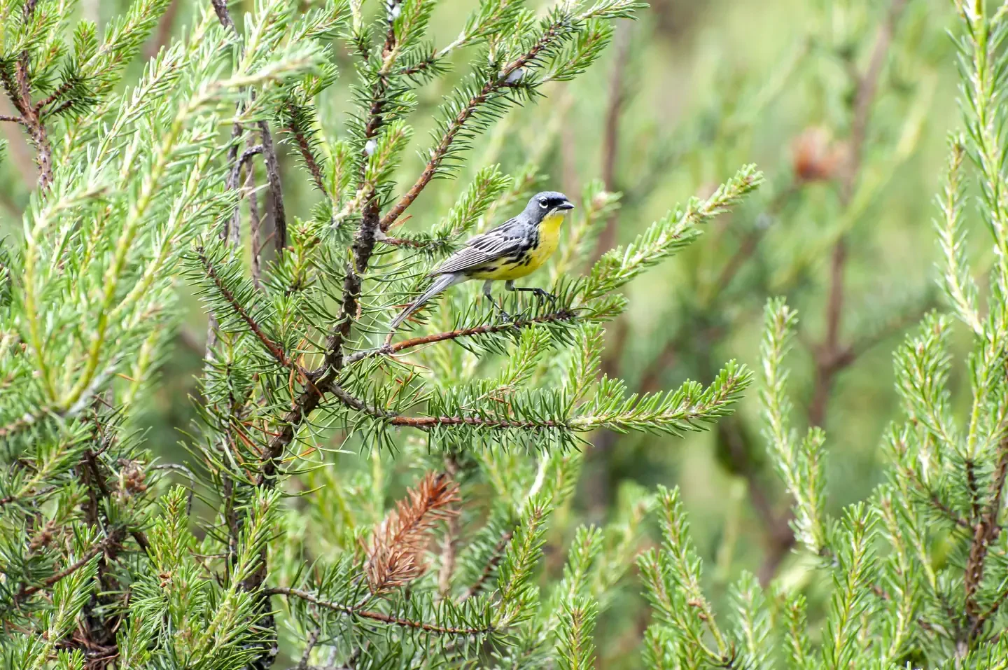
Kirtland's Warbler Guided Tour
Mio, MI
NewFee Unknown
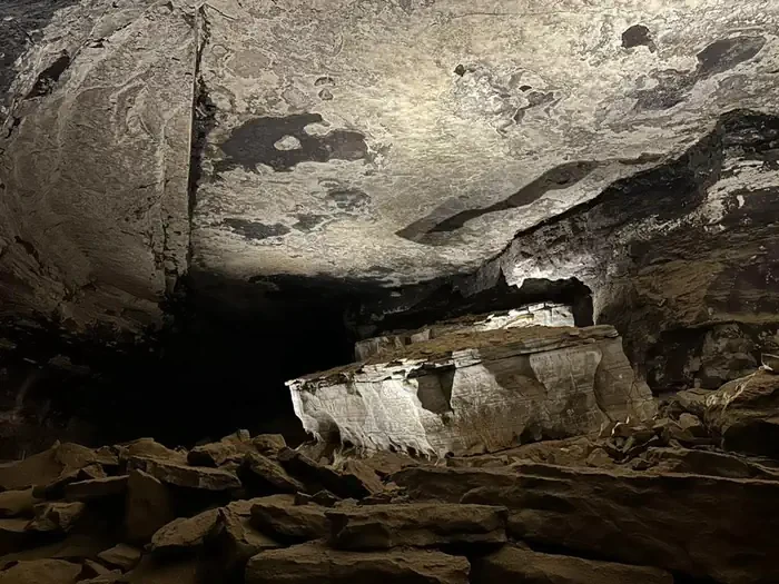
Extended Historic Tour
Mammoth Cave, KY
NewFee Unknown
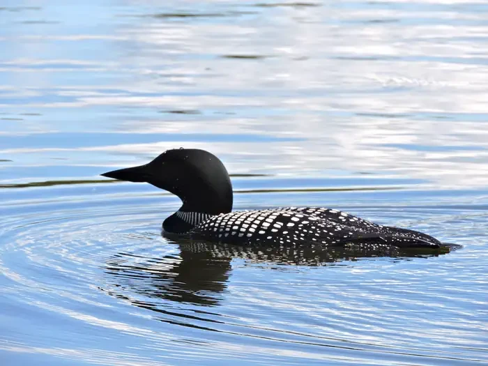
Life on the Lake Tour
International Falls, MN
NewFee Unknown
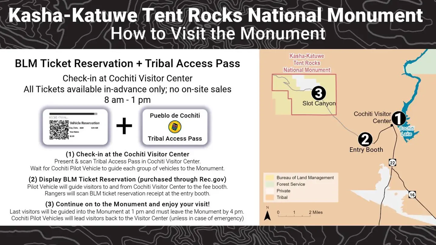
Kasha Katuwe Tent Rocks National Monument Ticketed Entry
Albuquerque, NM
NewFee Unknown
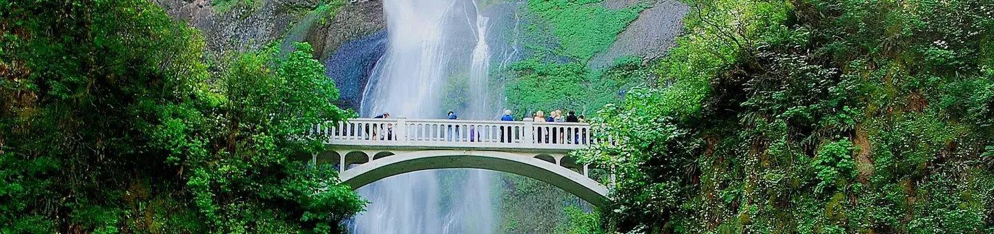
(Deactivated) Multnomah Falls Timed Reservation Tickets
Bridal Veil, OR
NewFee Unknown
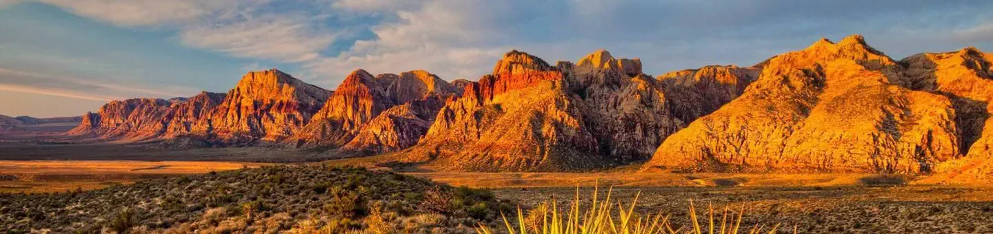
Red Rock Canyon National Conservation Area Scenic Drive Timed Entry
Las Vegas, NV
NewFee Unknown