Enchantment Permit Area Advanced Lottery
Hosted by USDA Forest Service
New experience
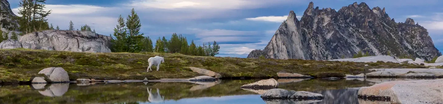
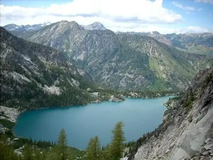
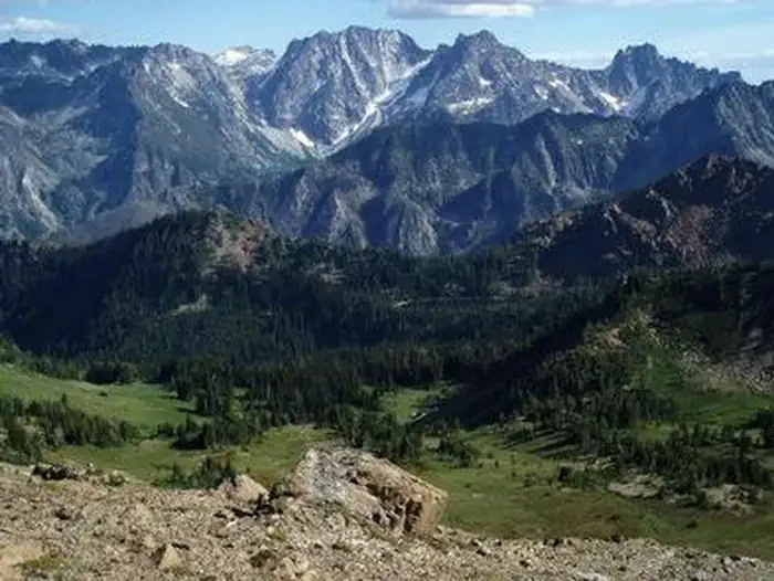
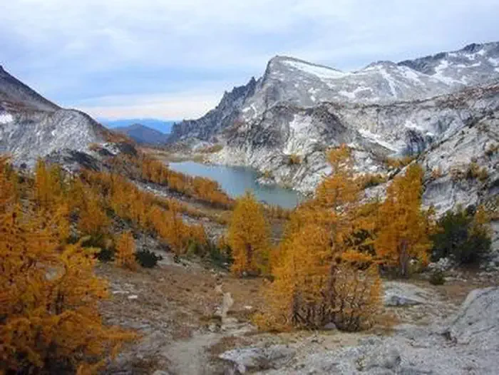
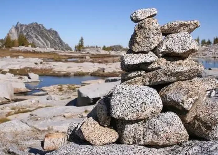
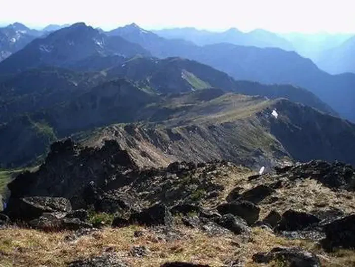
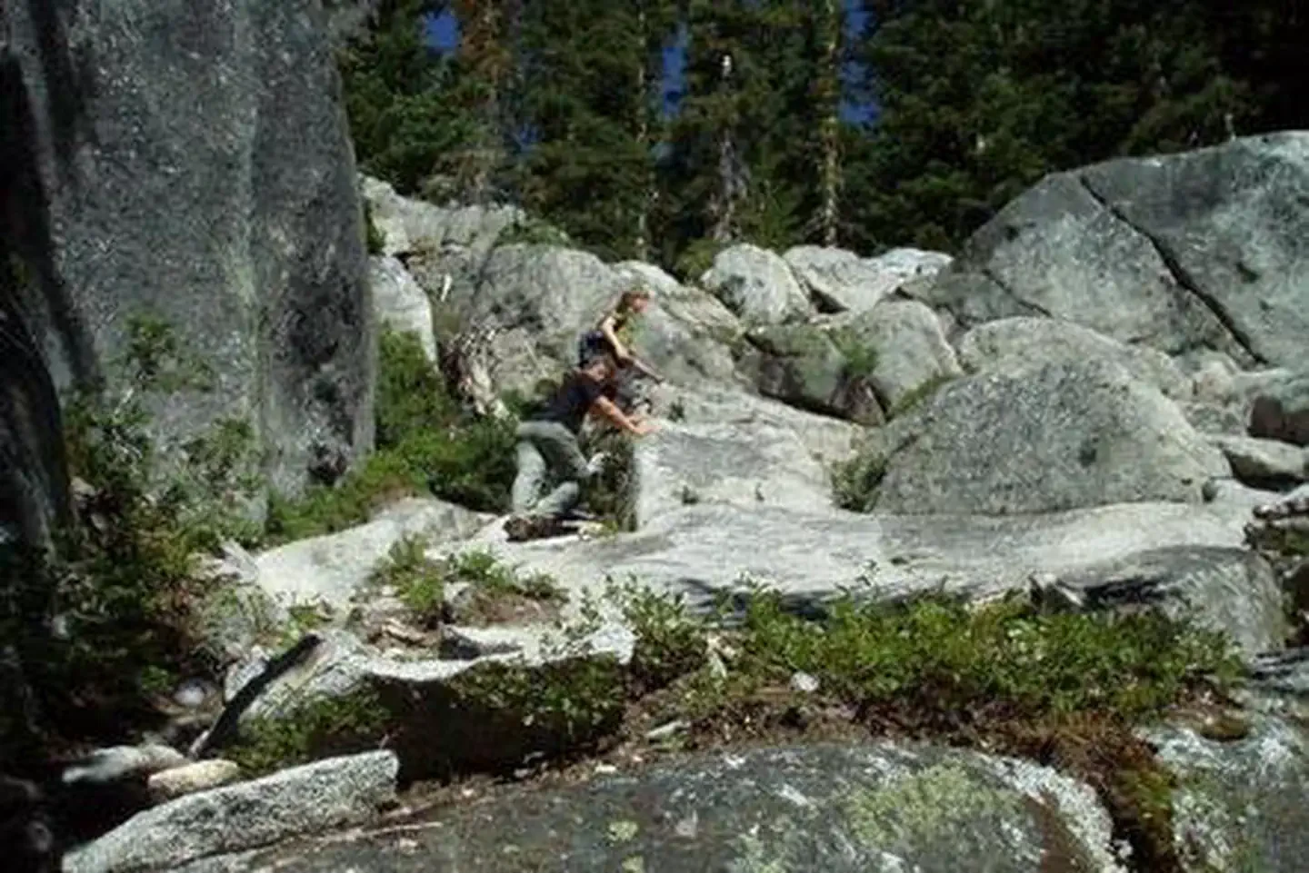
A permit for the Enchantment Permit Area in the Okanogan-Wenatchee National Forest, above Leavenworth, Washington, administered by the USDA Forest Service. The photos show high granite basin country: pale slabs and jagged spires, deep turquoise lakes and shallow tarns held in the rock, and scattered conifers and larch, some of them turned gold. Wider frames look out over bare ridgelines to forested valleys and rank after rank of peaks. Other photos show what the ground underfoot is like — hikers working up open granite slabs between boulders and low brush, with stacked-rock cairns standing on the slickrock to mark the way.
Location
Leavenworth, WA
To respect the Host's privacy, the precise address of this land will be provided after booking
Site features
Colchuck Zone
The Colchuck Zone includes the entire Colchuck Lake Trail from its junction with the Stuart Lake Trail to a contour line mid-slope below Aasgard Pass, at 6500 feet (below the prominent waterfall.) Camping immediately below Aasgard Pass with a Colchuck permit is thus not allowed. The trail to Colchuck Lake is 4.2 miles long, gaining 2100 feet; the last 1.6 miles climbing steeply on a rougher tread. Colchuck Lake offers a subalpine setting with spectacular views of Aasgard Pass and Dragontail Peak. It serves as a good base camp for those wishing to visit the Core Enchantments without hauling a full pack. Visitors with a Colchuck Zone permit may camp in any established campsite at Colchuck Lake. Climbers may also use established bivouac sites below Colchuck Col and elsewhere in the upper Colchuck Lake basin. Visitors with a Colchuck Zone Permit may day-hike or climb throughout the Core Enchantment Zone, but must camp within the Colchuck Zone.
Core Enchantment Zone
The Core Enchantment Zone includes not only the high lake basin typically called The Enchantments, but also Coney, Mesa, Earle, Shield, Toketie, and Crystal Lakes. Visitors with a Core Enchantment Zone Permit may use any established camp within that zone, and may also camp within the Colchuck Lake and Snow Lake Permit Zones while approaching or exiting the Core Enchantment Zone. Two trails access the Core Enchantment Zone; the same trails that access the Colchuck Lake and Snow Lake Zones. The approach via Colchuck Lake ascends steeply to Aasgard Pass, with loose rock and gravel underfoot and some boulder-hopping. The approach from Snow Lake is on more solid ground, but ascends exposed slabs of bedrock that can be treacherous, especially if wet or icy. By either route the terrain is strenuous, most visitors will find themselves using their hands in places, even when conditions are good.
Eightmile/Caroline Zone
The Eightmile/Caroline Permit Zone includes Eightmile and Little Eightmile Lakes, much of Eightmile Creek, both Caroline Lakes, the basin east of Windy Pass, and the ridge from Windy Pass to the summit of Mount Cashmere. The hike to the Eightmile Lakes is considered easy to moderate difficulty, gaining just 1200 feet of elevation in 3.3 miles. Reaching Lake Caroline, however, entails an additional 1700 foot elevation gain, and Windy Pass is another 1200 foot elevation climb beyond that. Eightmile Lake is mostly forested, but with expansive views of surrounding peaks. Lake Caroline is much smaller and more subalpine, and Windy Pass is well-named with its exposed, rugged setting above tree line. Visitors to this zone with pack or saddle stock must use the designated stock camp at Little Caroline Lake, or other suitable sites in the Windy Pass area, as stock are not allowed within 200 feet of any lake.
Snow Zone
The Snow Zone includes the Snow Lakes and Nada Lake basin, and the Snow Creek drainage. A permit for this zone allows visitors to use any established campsite within the zone. The area is mostly forested, and can be more forgiving to campers during bad weather than the other permit zones, but still has great views of the rugged surrounding peaks. The trail climbs steadily for 6.5 miles from the Snow Lakes Trailhead, gaining 4100 feet en route to Upper Snow Lake. Beyond Snow Lakes, the trail becomes more primitive in character, ascending steeply over granite slabs another 1400 feet to Lake Viviane, which is within the Core Enchantment Permit Zone. Groups with a Snow Zone permit are welcome to day hike throughout the Core Enchantments, but must camp within the Snow Lake Zone. There are no established campsites between Upper Snow and Lake Viviane.
Stuart Zone
The Stuart Zone includes the Stuart Lake Trail from the trailhead to its end, and includes the entire Stuart Lake basin. The Stuart Zone also includes the Horseshoe Lake area, and much of the Mountaineer Creek drainage. Visitors with a Stuart Lake Zone permit may camp at any established campsite along the Stuart Lake trail, or at Stuart Lake. The Stuart Lake Trail gains about 1700 feet over 4.5 miles, at a fairly steady grade, making it an easier hike than going to Colchuck or Snow Lakes. Stuart Lake is in a mostly forested setting, with great views of Mount Stuart and offers good fishing. The permit zone boundary excludes climber bivouac sites immediately below Mount Stuart, Sherpa Peak, and Argonaut Peak, such as those near Goat Pass, where a permit is therefore not needed to camp. Visitors with pack or saddle stock are allowed in this area only from the first Saturday after Labor Day until year-end, and cannot camp within 200 feet of any lake.
Reviews
No reviews yet.
USDA Forest Service
- 0
- Reviews
Meet your host, USDA Forest Service
You might also like...
Grand Avenue
Mammoth Cave, KY
NewFee Unknown
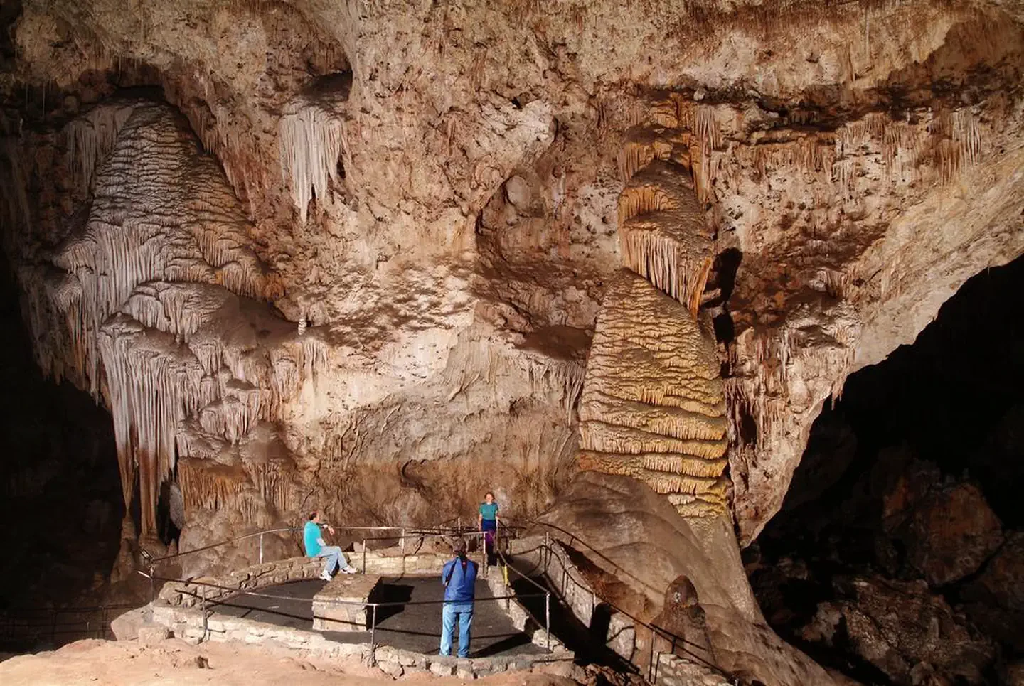
Self-Guided Tour
Carlsbad, NM
NewFee Unknown
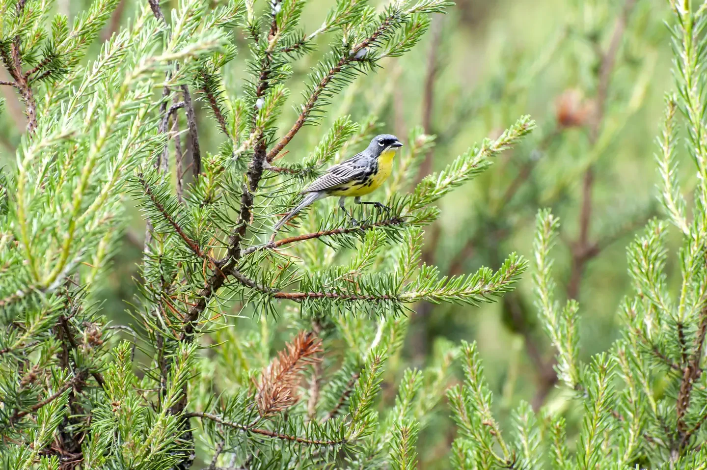
Kirtland's Warbler Guided Tour
Mio, MI
NewFee Unknown
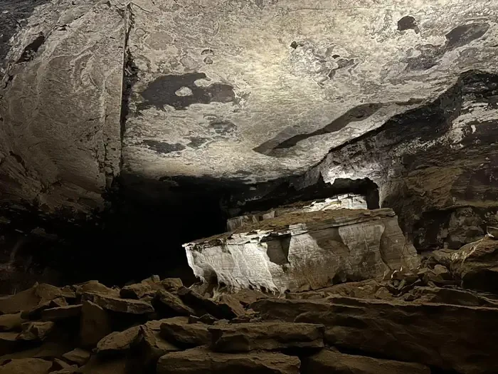
Extended Historic Tour
Mammoth Cave, KY
NewFee Unknown
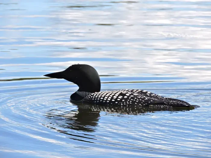
Life on the Lake Tour
International Falls, MN
NewFee Unknown
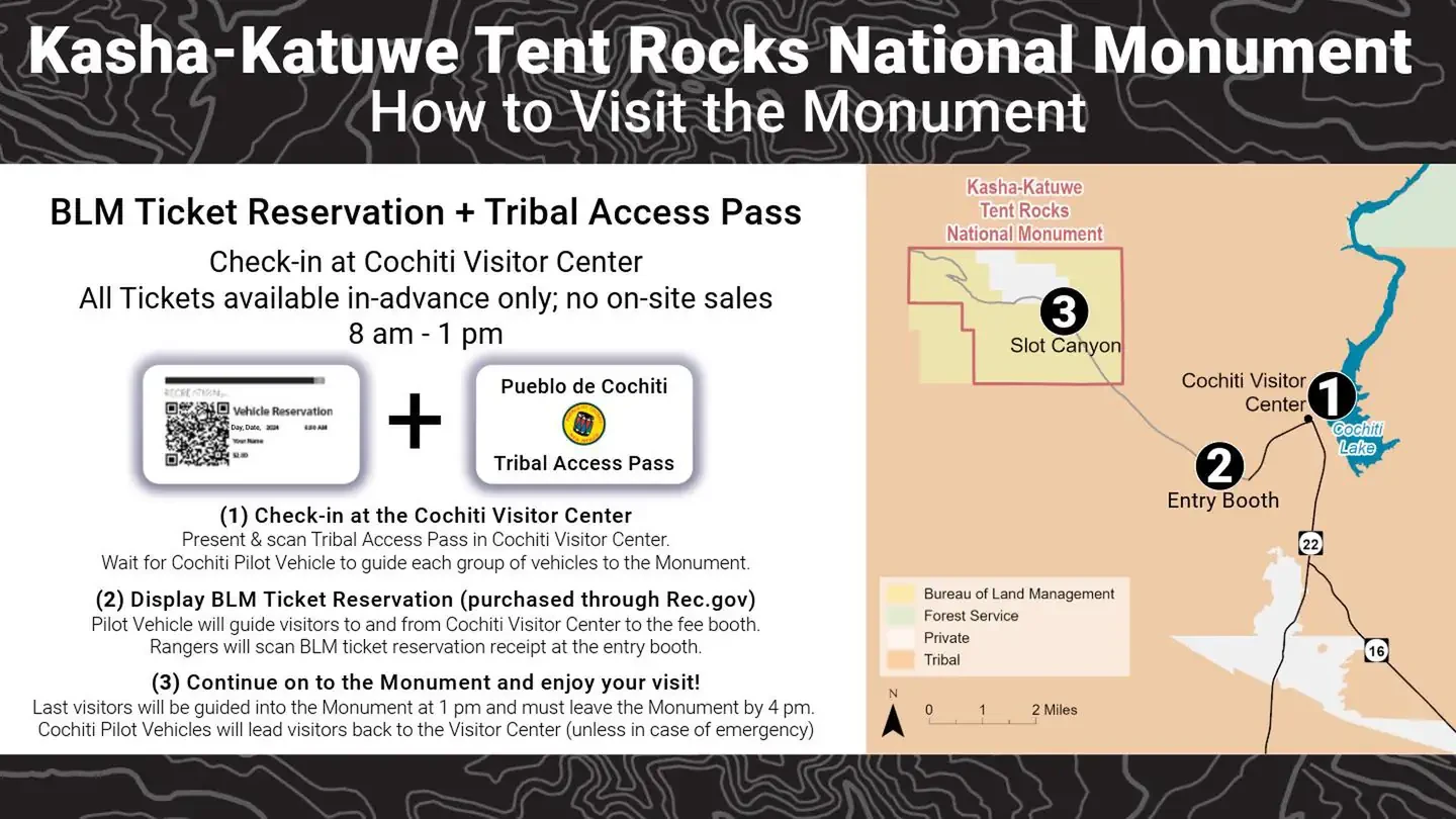
Kasha Katuwe Tent Rocks National Monument Ticketed Entry
Albuquerque, NM
NewFee Unknown
(Deactivated) Multnomah Falls Timed Reservation Tickets
Bridal Veil, OR
NewFee Unknown
Red Rock Canyon National Conservation Area Scenic Drive Timed Entry
Las Vegas, NV
NewFee Unknown