Inyo National Forest - Wilderness Permits
Hosted by USDA Forest Service
New experience
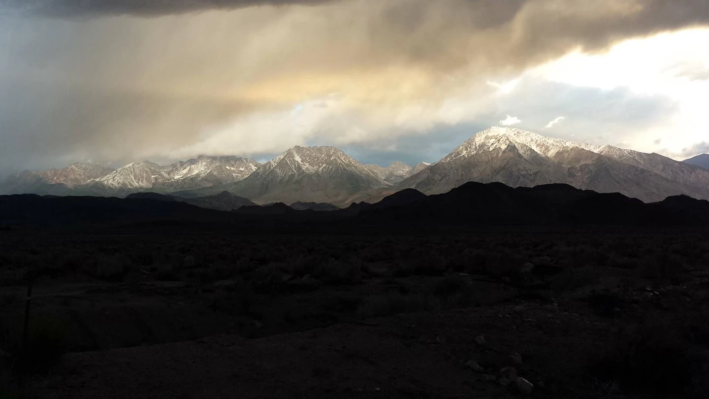
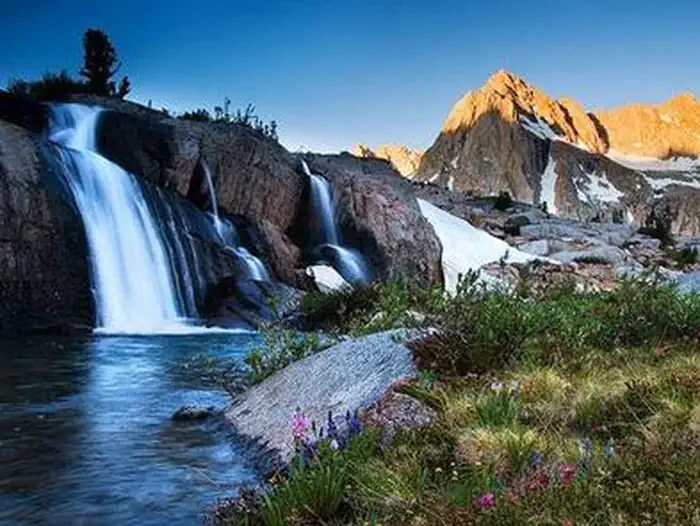
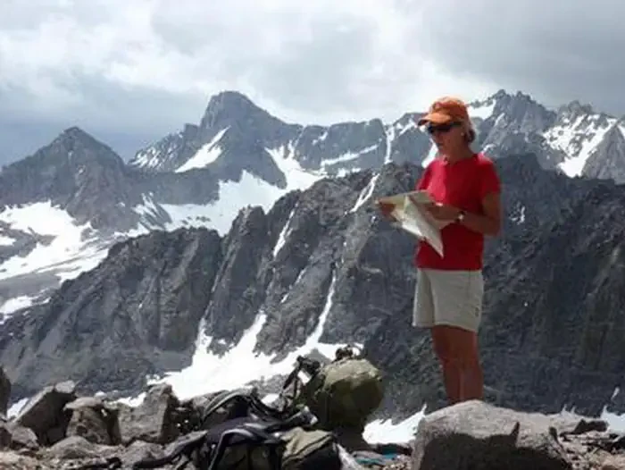
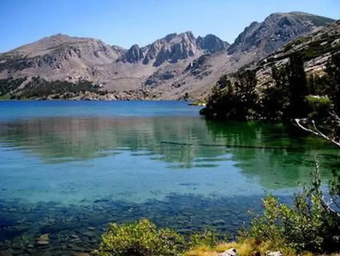
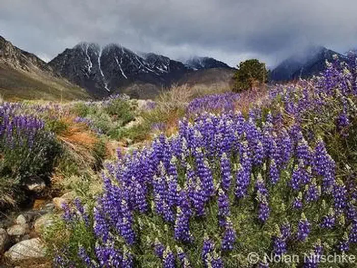
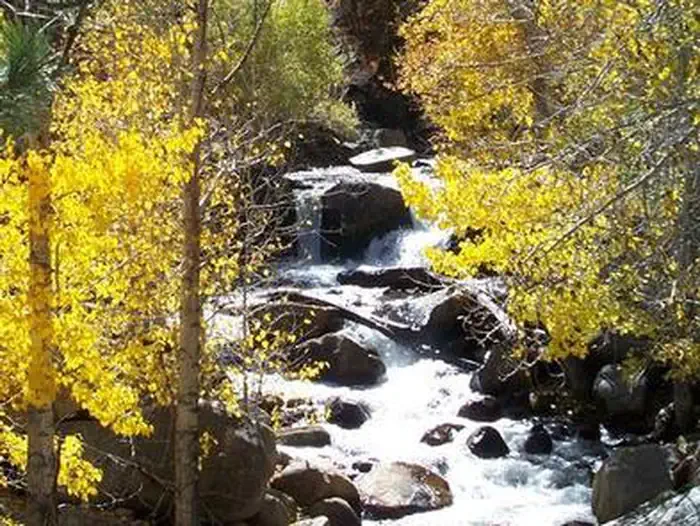
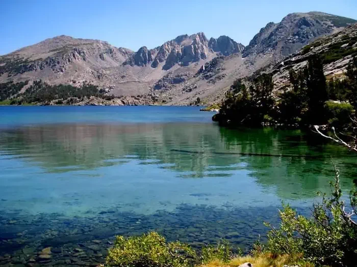
Located in California's beautiful eastern Sierra Nevada Mountains, Inyo National Forest offers clean air, crystal blue skies, mountain lakes and streams, challenging trails, high mountain peaks and unparalleled views. Whether you are seeking exceptional scenery, solitude, or a shared wilderness adventure, there are many places to explore. With over 2 million acres, the forest is home to numerous natural wonders, including Mt. Whitney, Mono Lake, Mammoth Lakes Basin and the Ancient Bristlecone Pine Forest, as well as nine designated wilderness areas comprising over 800,000 acres. Wilderness permits are required year-round for all overnight trips into the John Muir, Ansel Adams, Golden Trout and Hoover Wilderness, as well as wilderness areas in Sequoia, Kings Canyon and Yosemite National Parks. Visitors day hiking in the Mount Whitney Zone are also required to have a permit. During the high use season, many wilderness areas in the forest have quotas that limit the number of people allowed to enter each day, to help protect the wilderness value of the area. Because quotas are based on the number of people starting on the trail each day, everyone in your group must start on the entry date and trail listed on your permit, and your group cannot have more people than the permit indicates. When quotas are in effect, additional space is saved for walk-in permit requests. All unused reservation space and 40% of the quota space is available on a walk-in basis starting at 11 a.m. one day before the trip entry date. Permit requests are high on weekends, holidays and during July and August, so be prepared with ideas for alternate trails in case your first choice is full.
Location
Bishop, CA
To respect the Host's privacy, the precise address of this land will be provided after booking
Site features
AA-06-OH
Yost and Fern Lake are at the end of a brisk climb through pine and aspen. These two lakes are tucked in separate small valleys above the resort town of June Lake.
AA01
Mount Dana and its glacier can be viewed from Dana Lake at the end of Glacier Canyon. The trail starts from the roadside turnout for Tioga Lake Overlook. This trail does not enter Yosemite National Park. Stay on trail across the sensitive meadow as you cross to the south side of Tioga Canyon, then contour upslope to enter Glacier Canyon. It is 2 miles to the first lake.
AA02
The Gibbs Lake trail climbs up pine covered slopes and along Gibbs Creek. This small lake is tucked in the canyon between Mount Dana and Mount Gibbs. The trail is not recommended for stock beyond the wilderness boundary. The trailhead at Upper Horse Meadows is located at the end of 3 miles of dirt road.
AA03
This route was used to cross the Sierras before wagon roads were built and is named for the injuries to stock that made this rugged crossing. This trail is not recommended for stock. The trail climbs over a ridge to view Walker Lake and goes up Bloody Canyon past Lower and Upper Sardine Lakes. At the head of the canyon the trail crosses Mono Pass into Yosemite National Park and continues toward the Kuna Crest or Parker Pass Creek areas of the park.
AA04
Parker Lake is tucked in a small canyon overshadowed by the 12,000 ft. peaks of the Sierra Crest. The trail stays on the south side of Parker Creek on the way to Parker Lake. An alternate route to Parker Lake that is popular for stock use starts behind the pack station at Silver Lake and climbs over Parker Bench with views of Mono, Grant and Silver Lakes.
AA05
The trail name Rush Creek, comes from how fast the water rushes down this steep canyon to recharge the beautiful Silver Lake of the June Lakes area. Climbing past Agnew and Gem Lakes, the trail climbs Rush Creek Canyon and provides access to the John Muir Trail near Waugh Lake. Several side trails go to Alger Lakes and on to Parker Pass; past Clark Lakes to Agnew Pass; and to Spooky Meadow trail not recommended for stock.
AA07
The Shadow Creek trail travels past glacier-fed lakes and icy streams at the base of the Minarets and Mount Ritter. The trail starts at Agnew Meadows shuttle bus stop #1; for the first three miles, the Shadow and River Trails are combined. Near Olaine Lake the trails split; the Shadow Trail climbs past Shadow Lake to connect with the John Muir Trail. Camping is not allowed at Shadow Lake. The Shadow Trail continues up Shadow Creek to Ediza and Iceberg Lakes.
AA08
Starting from Agnew Meadows shuttle bus stop #1, the River Trail follows the Middle Fork of the San Joaquin River to its headwaters. The River Trail and Shadow Lake Trail are combined from Agnew Meadows to a trail junction about 3 miles upstream, where the trails split and the River Trail continues to follow the river. At Thousand Island Lake, the River trail joins the Pacific Crest and John Muir Trails. Water crossings may be high during spring snow melt.
AA09
The High trail starts from the Agnew Meadows shuttle bus stop #1. Instead of crossing Agnew Meadow, the trail climbs partway up the east side of the canyon. There are magnificent views across the valley of the Minarets, Mount Ritter and Banner Peak as the trail contours along the slope to the headwaters of the San Joaquin River. Several trail junctions give options to travel to Summit Lake, Agnew Pass, Clark Lakes, or Badger Lakes. The High trail is also part of the Pacific Crest Trail. If you continue on the Pacific Crest Trail you will connect with the John Muir Trail near Thousand Island Lake.
AA10
Traveling the length of the Sierra, the John Muir Trail extends from Mount Whitney to Yosemite National Park. This section of the trail is north of Devils Postpile National Monument. From the Devils Postpile Visitor Center shuttle stop #6 it is less that a mile to the junction with the John Muir Trail. As you follow the John Muir Trail it climbs above Minaret Falls and goes past Johnston Lake, Trinity Lakes and Gladys Lake. It is possible to go all the way to Happy Isles in Yosemite.
AA11
The glacier-fed Minaret Lakes are at the foot of the Minaret pinnacles in the Ritter Range. From the Devils Postpile Visitor Center shuttle stop #6 it is less that a mile to the junction with the John Muir Trail. A bridge across the river leads to the junction with the Minaret Lake and several other trails. The Minaret Lake Trail climbs above Minaret Falls and follows Minaret Creek.
AA12
The trail to Beck Lake also goes to some little known places like Noname, Lost Dog, Superior and Holcomb Lake. From shuttle stop #6 in front of the Devils Postpile Visitor Center it is less that a mile to the junction with the John Muir Trail. A bridge across the river leads to several trail junctions. Above Minaret Falls, the Beck Lake trail separates from the Minaret Lake and John Muir Trails.
AA13
The Fern Lake trail follows Snow Canyon toward Kings Creek and Summit Meadow on the way to Fern and Anona Lakes. Start from shuttle stop #6 in front of the Devils Postpile Visitor Center. It is less that a mile to the junction with the John Muir Trail where a bridge across the river leads to several trail junctions. You can continue past Summit Meadow and Granite Stairway toward Bench Canyon or Isberg Pass.
AA14
Fish Creek trail follows the general route of an old wagon trail. Starting near Reds Meadow Resort shuttle stop # 10 or the Rainbow Falls trailhead shuttle stop #8 the trail passes multiple junctions with the John Muir, Devils Postpile and Rainbow Falls trails. The Fish Creek trail follows Crater Creek to the Fish Creek Valley. Eleven miles down the trail is the popular Iva Belle hot springs. Beyond Iva Belle, the trail goes to Cascade Valley and eventually connects to the John Muir and Pacific Crest Trails near Purple Lake or Tully Hole.
AA15
Traveling the length of the Sierra, the John Muir Trail extends from Mount Whitney to Yosemite National Park. This section of the John Muir trail is south of Devils Postpile National Monument. Start from the Devils Postpile Visitor Center shuttle stop #6 if you want to see the stone columns of Devils Postpile. Or you can start your trip from the Rainbow Falls trailhead shuttle stop #8 or Reds Meadow Resort shuttle stop #10 if you want to visit the market or other resort services. Indicate if you will visit or exit at Mt. Whitney for your permit type.
AA16
Starting from Horseshoe Lake in the Mammoth Lakes Basin, this trail goes past McCloud Lake and over the relatively moderate Mammoth Pass. Several trail junctions offer options to access the John Muir trail near Crater Meadow or Reds Meadow. Common destinations are the Fish and Cascade Valley areas, or the John Muir Trail, either north or south.
GT60
Starting from Horseshoe Meadows, Cottonwood Pass is the gateway to the northern part of Golden Trout Wilderness and provides access to the Pacific Crest Trail. Small streams meander through tree-rimmed meadows in this wilderness area named for Californias state fish, the Golden Trout. Options for loop trips of various lengths branch out from Big Whitney Meadow. Following the Pacific Crest Trail north into Sequoia National Park leads to Crabtree Meadows and the headwaters of the Kern River.
GT62
This is a non quota trail.
GT66
Beginning on the southern border of the Golden Trout Wilderness, the Black Rock Trail provides access to Casa Vieja Meadow and Jordan Hot Spring as it passes through rugged, forested terrain to end at the Wild and Scenic section of the Kern River, near Soda Flat. Connecting trails circle around Kern Peak with many options for loop trips of various lengths.
HH11
A steep climb past several cascading waterfalls leads to Lake Helen on the Lundy Canyon Trail. After Lake Helen more moderate terrain is found in the Twenty Lakes Basin. Trails circle toward Saddlebag Lake and to the foot of North Peak and Mount Conness on the Yosemite National Park boundary.
HH12
Starting at the south end of Lundy Lake, the Lakes Canyon trail steadily climbs the narrow canyon between Gilcrest Peak and Mount Scowden. Interesting remains of mining history can be seen in this area. Visitors should remember that the Antiquities Act protects all artifacts from being damaged or removed, so be sure to leave historical items where they are. It is 3.3 miles to reach Oneida Lake with Blue Lake and Crystal Lake nearby.
HH13
This is a non quota trail.
HH14
This is a non quota trail.
HT
EXIT ONLY
JM00
Deer Lakes trail is sometimes called the Crystal Crag trail. This trail begins with a steep climb up the ridge from Lake George to the Mammoth Crest and yields spectacular views of Crystal Crag and Crystal Lake. The trail continues along the rim of the Sierra Crest with views into the back country toward the Middle Fork of the San Joaquin River. Deer Lake is at the end of the trail. If you want to connect to the John Muir Trail use the Duck Pass or Red Cones trail.
JM01
Climbing over Duck Pass to join the John Muir trail, the Duck Pass Trail climbs the forested hillside behind Coldwater Campground and goes past Arrowhead, Skelton, and Barney Lakes before going over Duck Pass. A side trail to Emerald Lake offers an alternate route to Skelton Lake. Common destinations beyond Duck Pass include Duck Lake, with an intense, deep-blue color, and nearby Purple Lake.
JM02
Starting east of Sherwin Campground, the Valentine Lake Trail is one of two trails providing access to Valentine Lake. The second trail, the Sherwin Creek Trail, climbs to Sherwin Lakes and then continues on to join with the Valentine Lake trail. The two trails join near 8900 ft elevation just before crossing into the wilderness boundary. Climbing past Lost Lake, the trail ends at Valentine Lake
JM03
Accessed from a rough four wheel drive road that ascends the east bank of Laurel Creek, the Laurel Lakes trail enters the wilderness just before Laurel Lake. Climbing up the canyon, the trail continues southeast over a saddle and descends to Edith Lake and Lake Genevieve, where it meets the Convict Canyon Trail.
JM04
After following the north shore of Convict Lake, this trail climbs a steep, narrow canyon with several exposed and narrow sections where a fall could have serious consequences. There is also a water crossing that many find to be a serious obstacle, especially during the high water of spring thaw. Beyond the challenging water crossing the trail continues to Lake Dorothy, Lake Mildred and Lake Genevieve. The Laurel Canyon trail provides alternate access to this area.
JM05
This McGee Creek is near Lake Crowley. Abundant wildflowers mixed with sage fill the lower part of McGee Canyon on the way to Horsetail Falls. Water crossings may be high during spring snow melt. As the canyon turns west and climbs into aspen and lodgepole pine, side trails lead to Steelhead Lake and Baldwin Canyon. Farther up the canyon are Big McGee and Little McGee Lakes. Crossing over McGee Pass leads to Horse Heaven and Tully Hole on the John Muir Trail.
JM06
Starting near the pack station by Rock Creek Lake, the Hilton Lakes trail takes hikers through a forest of whitebark and lodgepole pines before it enters a basin with many lakes, including Hilton and Davis Lakes.
JM07
The Tamarack Lake trail climbs the slope above the eastern shore of Rock Creek Lake. This trail offers non-wilderness travel options along the shoulder of Wheeler Ridge and Sand Canyon Road. To enter the John Muir wilderness, follow the east fork of Rock Creek into a broad valley and on to Kenneth and Dorothy Lakes. The side trail to Francis Lake is not recommended for stock. At the upper end of the valley the trail climbs to Tamarack Lake and Buck Lake near the top of Wheeler Ridge.
JM08
Starting from Mosquito Flat at the end of Rock Creek Road,Little Lakes Trailhead the Mono Pass trail climbs out of the Little Lakes Valley and goes to Ruby Lake, where sheer granite walls tower above the emerald waters. Crossing over Mono Pass the trail descends down Mono Creek with side trails to Pioneer Basin and the Recesses. The trail along Mono Creek eventually connects with the John Muir Trail near Quail Meadows and Lake Thomas A Edison. Do not confuse this trail with the other Mono Pass on the border of Yosemite National Park, reached by the Bloody Canyon Trail.
JM09
Easy access to a beautiful chain of lakes make Little Lakes Valley popular for fishing, day hikes and beginning backpackers. Glaciers carved this extensive chain of lakes, both large and small. Wildflowers bloom in the high elevation framed by the spectacular 13,000-foot peaks of Bear Creek Spire, Mt Dade, Mt. Abbot and Mt. Mills. Some evidence of historical mining equipment can be seen, along with an old road bed at Morgan Pass.
JM10
The Italy Pass trail separates from the Pine Creek Pass Trail near Honeymoon Lake. Before reaching Italy Pass, the trail gives access to Granite Park and the Chalfant Lake area. After crossing Italy Pass, the trail descends past Jumble Lake to reach Lake Italy, shaped like an Italian boot. Separate quotas apply for Pine Creek Pass and other area trails. Refer to the area map for trail names.
JM11
Several trails start from the deep canyon cut by Pine Creek between Mount Tom and the Wheeler Crest. The Pine Creek Pass Trail gives access to the Pine Lakes, along Pine Creek, and destinations beyond Pine Creek Pass, including French Canyon and Humphreys Basin. Check the area map for the correct trail to reserve.
JM12
Rich in mining history, the Gable Lakes Trail starts deep in the canyon behind Mount Tom and climbs past historic sites that once transported miners to the mine in ore buckets. Visitors should remember that the Antiquities Act prohibits the damage or removal of artifacts. Gable Lakes is four miles up this rocky, steep and exposed trail.
JM13
The trail to Horton Lakes can be found by following a rough dirt road beyond Bishops Buttermilk Country. The Horton Lakes Trail climbs 3.8 miles to Lower Horton Lake at the foot of Mt. Tom.
JM14
After bouncing over the rugged, high clearance dirt road beyond Bishops Buttermilk Country, the Upper Buttermilk trail leads up to Langley Reservoir, wedged between the foot of Mt. Humphreys and Basin Mountain
JM15
Beginning near North Lake, in Lodgepole pine and quaking aspen, the Piute Pass trail follows the creek at the foot of Piute Crags and Mount Emerson. Climbing glacier carved granite benches, the trail passes Loch Leven, Piute Lake and many smaller lakes and ponds on the way to the pass. Beyond Piute Pass, the trail gives access to Humphreys Basin, with an abundance of high alpine lakes and tarns on the north side of Glacier Divide. The trail then descends Piute Creek to Hutchinson Meadow and eventually joins the John Muir Trail. Piute Pass trail and Bishop Pass trail are the end points for the popular North Lake to South Lake Loop.
JM16
Starting from North Lake Campground, the Lamarck Lakes trail immediately splits away from the Piute Pass trail. The first part of the climb is sheltered by a grove of aspen and pine. The steady climb soon leads to open views of Mount Emerson and the red cliffs of Piute Crags. Lakes are terraced up the canyon in a series of glacier carved granite benches. The trail ends at Upper Lamarck Lake. Rugged cross country terrain beyond Upper Lamarck Lakes is predominately steep talus and the snow fields of small glaciers that rest at the foot of Mount Lamarck.
JM17
Climbing the hillside on the south side of Sabrina Lake, the trail leads to a series of high alpine lakes in a basin surrounded by glacier flanked 13,000 ft. granite peaks. Many day hikers enjoy visiting Blue Lake 2.5 miles. If hikers continue on the trail it will take them to Dingleberry, Hungry Packer, and Midnight Lakes.
JM18
Climbing the hillside on the south side of Sabrina Lake, the trail to George Lake climbs more than 2,500 feet up Table Mountain. Descending the other side of this broad mountaintop will bring you to Tyee Lakes.
JM19
Beginning near Willow Campground, the Tyee trail crosses the bridge over Bishop Creek. This steep trail with many switch backs has great views of the Inconsolable Range and the peaks that surround South Lake. The Tyee Lakes are near the top of Table Mountain. A less distinct trail continues on to connect with the George Lake Trail over Table Mountain.
JM20
Starting at South Lake, the trail is combined with the Bishop Pass trail until the first trail junction. Treasure Lakes trail goes to a beautiful, less visited, granite basin surrounded by talus slopes at the foot of Mount Thompson, Mount Goode and Hurd Peak. This trail does not provide access to Bishop Pass.
JM21
Starting at beautiful South Lake, the Bishop Pass Trail climbs the valley between the Inconsolable Range and Hurd Peak. The trail ascends series of granite benches, each holding lakes and ponds. The highest lakes are tinted with glacial melt at the foot of Mt.Thompson and Mt.Goode. Over Bishop Pass is the backcountry of Kings Canyon National Park, with the trail continuing to Dusy Basin and LeConte Canyon where it meets the John Muir Trail. A side trail--the Chocolate Lake Loop--provides a popular day hike around Chocolate Peak, rejoining the main trail at Long Lake.
JM22
Baker and Green Lakes trail: Several different access points lead to the Baker Lake area. Please refer to the area map to determine the correct trail name for your reservation. Starting from Big Pine Creek and Glacier Lodge, the Baker and Green Lakes trail climbs several miles of sage-covered slopes outside of wilderness and eventually winds through stands of Jeffrey pines to climb past Grouse Spring and High Meadow. Views of the Middle Palisade and Disappointment Peak can be seen as you climb over the ridge. The trail follows Baker Creek, to Baker Lake, and then descends into Bishop Creek Canyon past Green Lake and Brown Lake. Alternate starting points from Bishop Creek Canyon are near Parchers Resort or South Lake parking lot. Brown and Green Lake are not in the wilderness boundary.
JM23
Big Pine North Fork trail goes to the popular First through Seventh Lakes up the canyon north of Mount Sill. This trail also offers views of Temple Crag and the Palisade Glacier. The hike begins at First Falls in the shade of Jeffrey pine and aspen and quickly climbs across sage and manzanita covered slopes to enter the wilderness boundary near Second Falls. As the trail climbs past the chain of Big Pine Lakes there are many opportunities to observe the effects of glacial activity, such as cirques, glaciated granite and glacial erratic. A side trail to Black Lake offers views of glaciers and the Sierra Crest before rejoining the main trail near Fourth Lake.
JM24
Big Pine South Fork trail climbs beneath the Palisades Glacier and jagged peaks of the Middle Palisades to reach Brainard and Finger Lakes. The bridge across the South Fork Creek was destroyed by avalanche (spring 2011) so expect to get your feet wet and use caution with high spring runoff. The trail beyond Willow Lake becomes indistinct with rock cairns marking the way to the upper lakes. This section of trail is not recommended for stock.
JM25
This steep trail to Birch Lake starts by following an old jeep road that heads west from McMurry Meadows. The trail stays on the north side of Birch Creek as it climbs into the broad valley north of Birch Mountain until it crosses the stream just below Birch Lake.
JM26
Red Lake is at the base of Split Mountain. The trail to Red Lake is 4.3 miles long if you are able to drive to the end of a rugged dirt road. You may need to walk a few more miles if you do not have a high clearance four wheel drive vehicle. Refer to the Inyo National Forest Motor Vehicle Map and get directions at the visitor center to identify what roads to follow to the trailhead. Roads that seem more direct are not open to public access. Please respect private property signs and locked gates.
JM27
Experience many biologic zones as this strenuous trail climbs more than 6,000 feet up the Taboose Creek Canyon between Cardinal Mountain and Goodale Mountain. Crossing over Taboose Pass leads to the John Muir Trail and destinations in Kings Canyon National Park south of Mather Pass.
JM28
The Sawmill Pass trail is steep and strenuous. Starting near Division Creek, this trail climbs more than 6,700 feet to reach the Sierra Crest. Sawmill Pass provides access to the Woods Creek area of Kings Canyon National Park. There is no water or shade at the trailhead or along the first few miles of the trail. A pre-dawn start is recommended during the summer and early autumn
JM29
The Baxter Pass trail is steep and rugged. Starting near Oak Creek Campground, this trail provides access to Kings Canyon National Park after climbing more than 6,000 feet to reach the Sierra Crest. It pays to be fit and start early for this pass.
JM30
Starting from Onion Valley, the Golden Trout Lakes trail is a rough trail leading to high alpine basins containing the Golden Trout Lakes. This trail does not cross the Sierra Crest.
JM31
The Kearsarge Pass trail begins at Onion Valley and passes through forests and alpine tundra as it climbs past several lakes including Little Pothole, Gilbert, and Flower Lakes on its way to 11,700-foot Kearsarge Pass. The trail continues into Kings Canyon National Park and joins the John Muir Trail near Bullfrog Lake. This is an active bear area.
JM32
Starting along Symmes Creek, the Shepherd Pass trail climbs a demanding 6,000 feet from the valley floor to the 12,000-foot Shepherd Pass where it crosses the Sierra Crest. Descending into Sequoia and Kings Canyon National Parks the trail continues to the Tyndall Creek junction of the John Muir Trail. It pays to be fit and start early for this pass. In many years, a large steep snow bank lingers year-round at the top of this challenging pass.
JM33
Named for Chief George, a Piute leader in the 1800s, George Creek - Mt Williamson is a steep, unmaintained cross-country route that climbs more than 6,000 vertical feet to the area near Mt. Williamson, Trojan Peak, and Mt. Barnard. Access is allowed year-round. Please be respectful of wildlife as you pass through habitat for the endangered Sierra Nevada Bighorn Sheep. Check guidebooks for route descriptions. Trips up Bairs Creek are included in the George Creek - Mt Williamson quota. Be sure to check avalanche conditions before attempting winter ascents.
JM34
The North Fork of Lone Pine Creek trail is steep, rugged and difficult to follow. The trail ends at Iceberg Lake, at an elevation of about 12,600 feet. This is not a regular trail to the top of Mt. Whitney. Beyond Iceberg Lake, mountaineering and rock climbing routes climb Mt. Whitneys East Face, East Buttress or the Mountaineers Route. Other climbs in this area include Mt. Russells Fish Hook Arte and East Ridge.
JM35
Trail Crest is approximately 13,600 ft. in elevation and 2 miles from the summit of Mt. Whitney, where the Mt. Whitney Trail crosses the crest of the Sierra Nevada to join the John Muir Trail in Sequoia National Park. Exiting via Trail Crest allows you the option to hike to the summit of Mt. Whitney and camp along the Mt. Whitney Trail as you finish your trip. Your exit date is the day you descend to Whitney Portal Road.
JM37
The Meysan Lakes trail begins near Whitney Portal Campground and goes past Little Meysan and Grass Lake before it ends at Meysan Lake. This trail does not go to Mt Whitney. Day hiking on Meysan Lakes trail does not require a permit.
JM38
Tuttle Creek trail is located approximately 3 miles west of Horseshoe Meadows Road. The trail accesses a stone building known as the Tuttle Creek Ashram. Shortly beyond the wilderness boundary the trail becomes a faint game trail. Sometimes this area is used as a vertical winter ascent to the foot of Mount Langley.
JM39
Cottonwood Lakes are home to Californias state fish, the golden trout. Located near Horseshoe Meadows, the Cottonwood Lakes Basin has many pristine lakes and creeks located between Mount Langley and Cirque Peak. Side trails branch to Muir Lake, Hidden Lake, South Fork Lakes, Cirque Lake, Long Lake and High Lake. Climbing over New Army Pass provides access to the southern portion of Sequoia National Park.
SEKI
EXIT ONLY
SEKI.
EXIT ONLY
SEKI..
EXIT ONLY
SEKI...
EXIT ONLY
SI
EXIT ONLY
SI.
EXIT ONLY
SI...
EXIT ONLY
SQ
EXIT ONLY
SS63
This is a non quota trail.
SS64
The Haiwee Pass trail provides access to the South Sierra Wilderness. The trail begins at the base of the eastern Sierra, passes over Haiwee Pass and ends at the South Fork Kern River. The trail is primitive and can be overgrown or faint in places. Bring a map and compass.
SS65
The Pacific Crest Trail at Kennedy Meadows gives access to the South Sierra Wilderness. The Wildrose Trail offers the option of making a loop trip back to Kennedy Meadows. Pacific Crest Trail hikers that are hiking 500 miles or more on the PCT should contact the Pacific Crest Trail Association for a through hiking pass. Please refer to the area map for other trail names.
YOS1
EXIT ONLY
YOS2
EXIT ONLY
YOS4
EXIT ONLY
YOS5
EXIT ONLY
Reviews
No reviews yet.
USDA Forest Service
- 0
- Reviews
Meet your host, USDA Forest Service
You might also like...
Grand Avenue
Mammoth Cave, KY
NewFee Unknown
Self-Guided Tour
Carlsbad, NM
NewFee Unknown
Kirtland's Warbler Guided Tour
Mio, MI
NewFee Unknown
Extended Historic Tour
Mammoth Cave, KY
NewFee Unknown
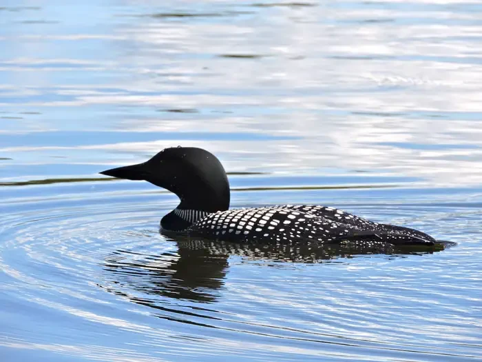
Life on the Lake Tour
International Falls, MN
NewFee Unknown
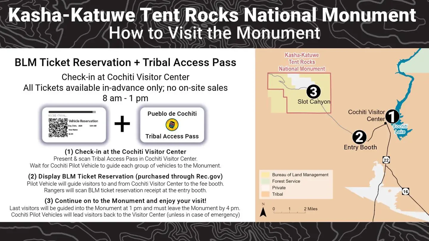
Kasha Katuwe Tent Rocks National Monument Ticketed Entry
Albuquerque, NM
NewFee Unknown
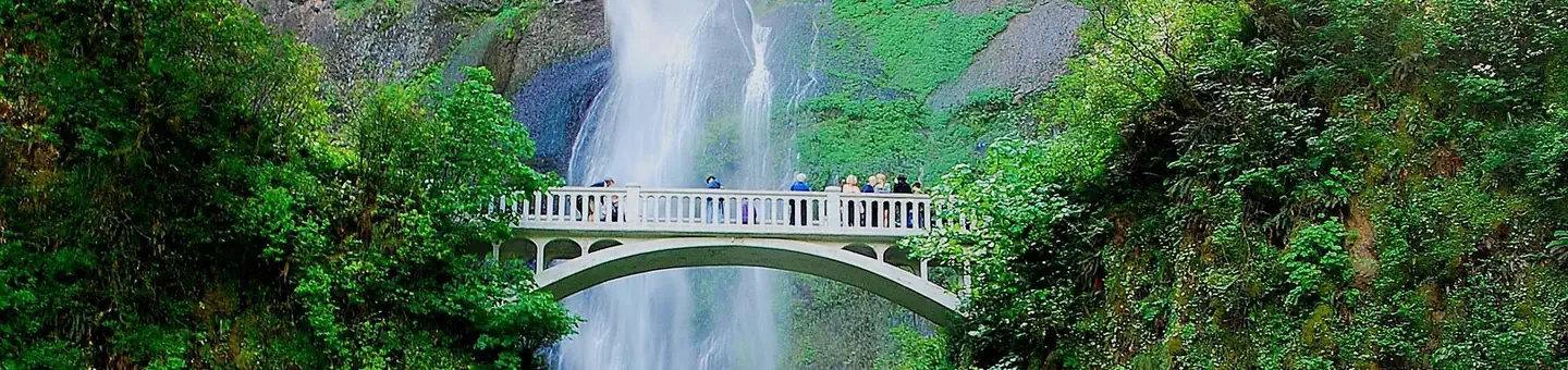
(Deactivated) Multnomah Falls Timed Reservation Tickets
Bridal Veil, OR
NewFee Unknown
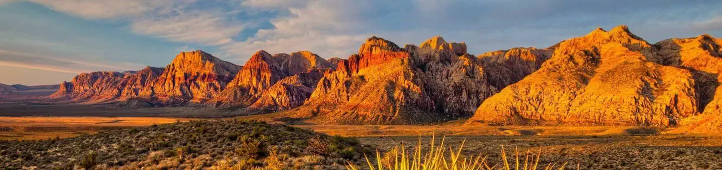
Red Rock Canyon National Conservation Area Scenic Drive Timed Entry
Las Vegas, NV
NewFee Unknown