Lower Deschutes River Boater Pass
Hosted by Bureau of Land Management
New experience
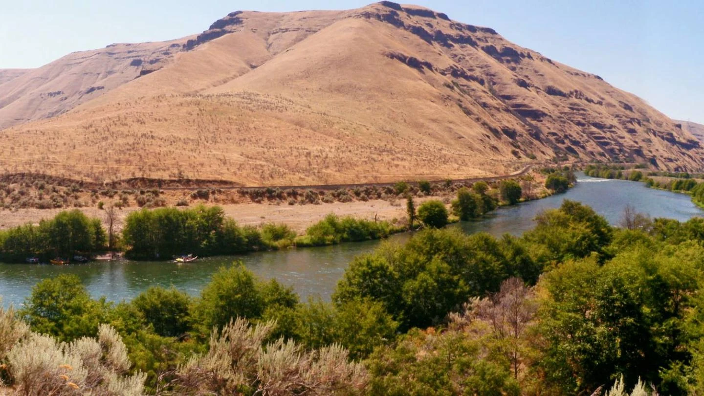
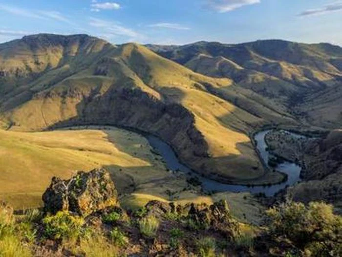
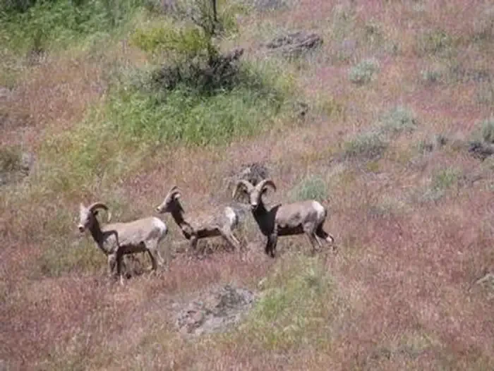
The Deschutes River begins its journey high in the Cascade Mountains of Oregon at Little Lava Lake and travels through deep rimrock-lined canyons on its 252-mile course north to the Columbia River. The last 100 miles of this path were designated as an Oregon Scenic Waterway in 1970 and a Federal Wild and Scenic River in 1988. The Lower Deschutes is managed cooperatively by three agencies: the Prineville District Bureau of Land Management, the Confederated Tribes of Warm Springs, and the Oregon Parks and Recreation Department. Boater Passes are required year-round, for both day and overnight use, for anyone using a watercraft or any other floating device as a means of transport on the Lower Deschutes River. Access is restricted to a limited number of boaters on some segments during peak use periods, and Limited Entry passes can be reserved up to 26 weeks in advance. The Deschutes has a rich cultural history, providing food and water for thousands of years to the Warm Springs and Wasco people moving seasonally through the area. In the 1800s, due to increasing pressure from settlers, many moved to the lands now known as the Warm Springs Reservation, which borders much of the west side of the Lower Deschutes. Members of the Confederated Tribes of Warm Springs retain their fishing rights and can be seen dip net fishing the traditional way, leaning from platforms over the river just below Sherars Falls. The Deschutes has a unique flow that is fairly uniform compared to other similar rivers, thanks to the many nourishing springs that feed the river in the upper reaches and the effects of the Pelton Reregulation Dam, which delivers a uniform flow for the last 100 miles. Visitors pass through steep canyons that reveal their volcanic origin in the towering basalt columns lining the rims. The elevation drops from 1,393 feet at Pelton Dam to 160 feet at its confluence with the Columbia River, an average gradient of 13 feet per mile that is relatively constant throughout. The most significant drops are Sherars Falls (River Mile 44), with a vertical drop of 15 feet, and Whitehorse Rapids (River Mile 75), with a gradient of approximately 35-40 feet over one mile. Thousands come every year to enjoy world class fishing, exciting whitewater and beautiful scenery, along with an incredible geologic and cultural history and a diverse community of fish, wildlife and vegetation. Whatever you plan to do, if you want to stay overnight, arrive early to get a campsite, especially during summer weekends.
Location
Lower Deschutes River Boater Pass
To respect the Host's privacy, the precise address of this land will be provided after booking
Site features
Segment 1
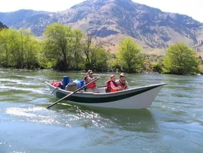
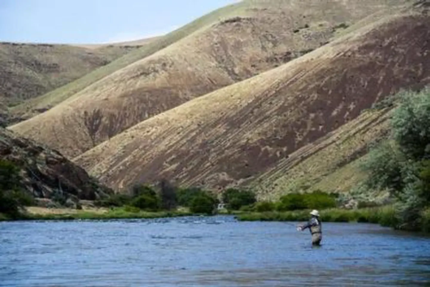
Warm Springs to Harpham Flat Outstanding fishing opportunities abound for steelhead, Chinook and trout with seasons that vary, but generally run from April through October. This 27-mile, remote section of the river is also becoming popular for multi-day rafting trips, especially during the warmer months of mid-June through mid-September. The 10 mile stretch from Warm Springs to Trout Creek has no rapids so it is a good choice for those with less experience. Motorized boating is not permitted in Segment 1. Limited entry days for Segment 1 include: Friday, Saturday and Sunday from May 15 - September 15.
Segment 2
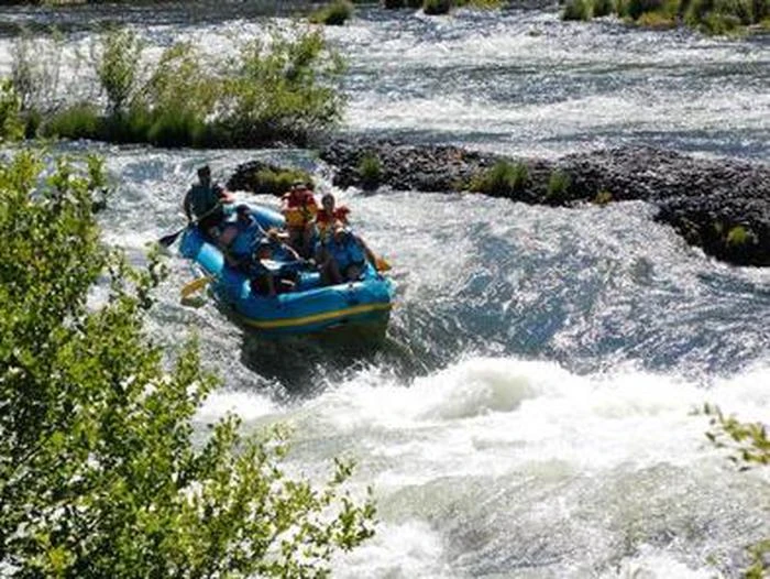
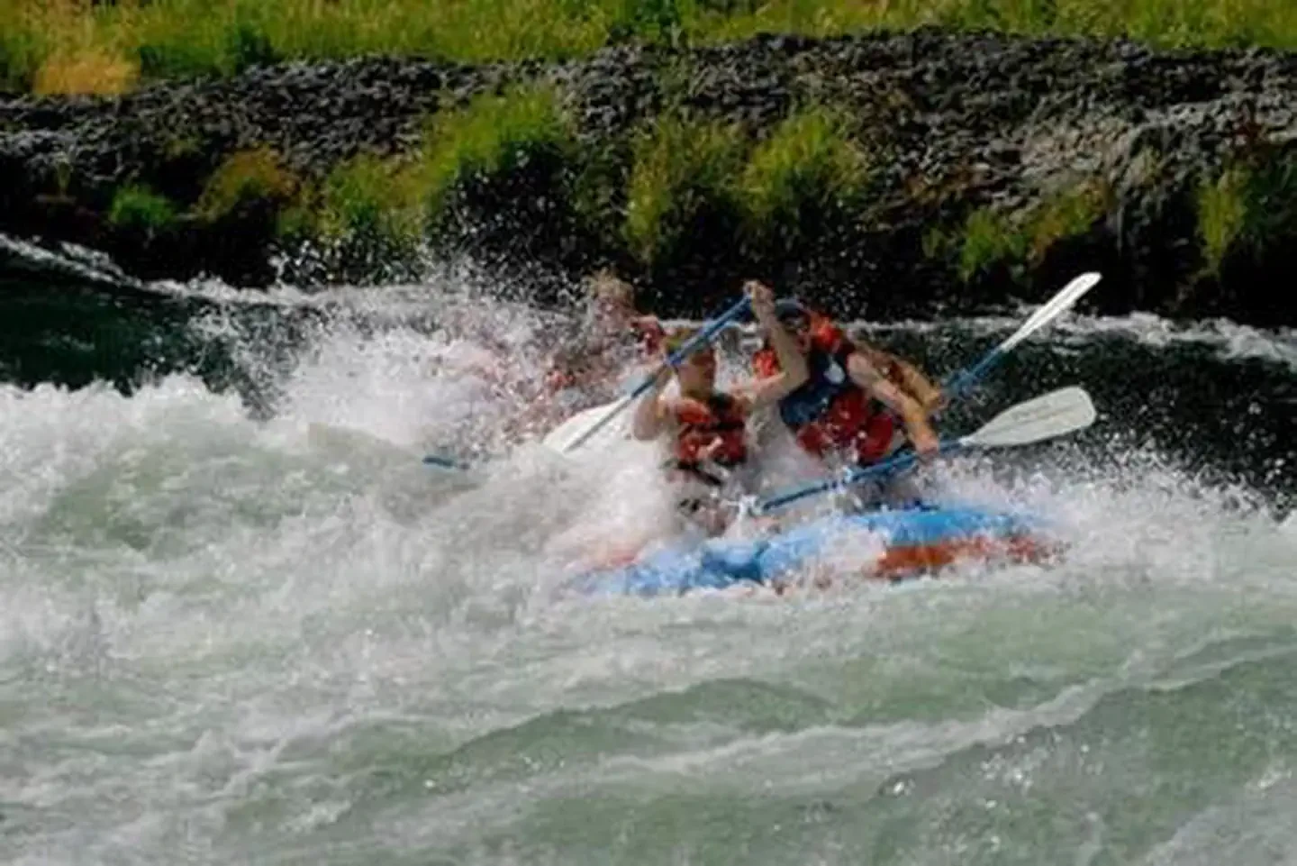
Harpham Flat to Sandy Beach: Several challenging rapids (Class III+) and easy road access make this the most popular segment for one-day whitewater boating trips, with most use occurring from June through mid-September. This segment also sports year-round trout and steelhead fishing. All boaters must exit at Sandy Beach or above. A vehicle portage around Sherars Falls is required if continuing into Segment 3. Motorized boating is not permitted in Segment 2.
Segment 3
Buckhollow to Macks Canyon: Steelhead fishing is popular on this segment, as are multi-day boating trips that continue into Segment 4. The 15 mile stretch from Pine Tree to Macks Canyon offers a scenic float without rapids, for those with less experience. Motorized boating is not permitted in Segment 3 between June 15 and September 30. Limited entry days for Segment 3 include: 7 days a week from May 15 - September 15.
Segment 4
Macks Canyon to Heritage Landing: Fall steelhead fishing is very popular from late July to October, with some trout fishing and whitewater rafting also taking place. Rapids are Class III or less. There is no road access between Macks Canyon and Heritage Landing on this remote, 24-mile section of river. Motorized boating is allowed all year, except on alternating weekends from June 15 - September 30 in accordance with the Motorboat Schedule . Limited entry days for Segment 4 include: 7 days a week from May 15 - October 15.
Reviews
No reviews yet.
Bureau of Land Management
- 0
- Reviews
Meet your host, Bureau of Land Management
You might also like...
Grand Avenue
Mammoth Cave, KY
NewFee Unknown
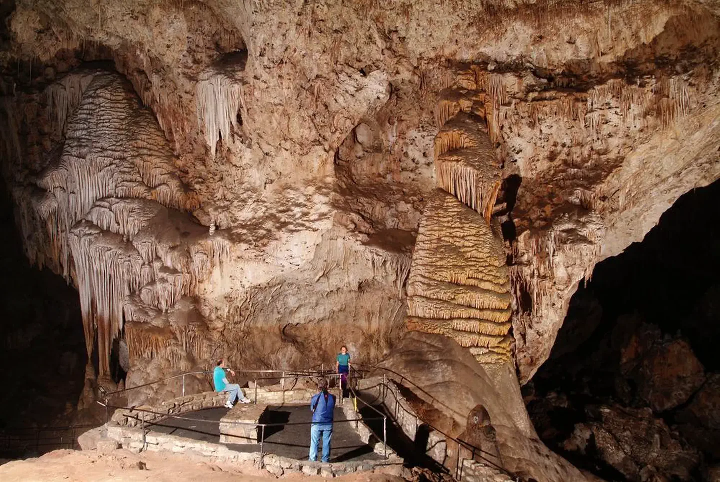
Self-Guided Tour
Carlsbad, NM
NewFee Unknown
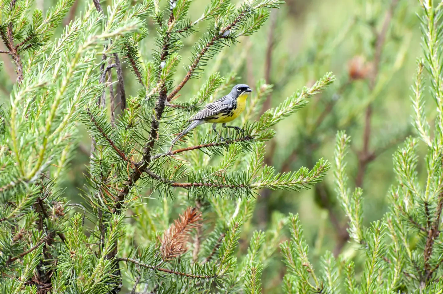
Kirtland's Warbler Guided Tour
Mio, MI
NewFee Unknown
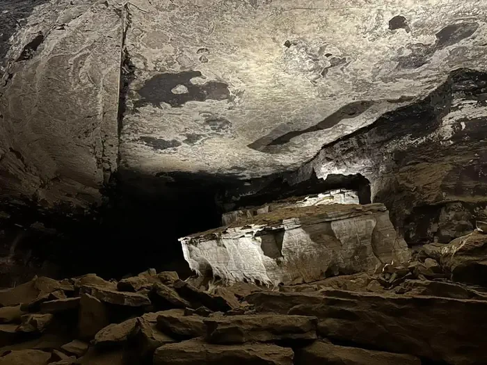
Extended Historic Tour
Mammoth Cave, KY
NewFee Unknown
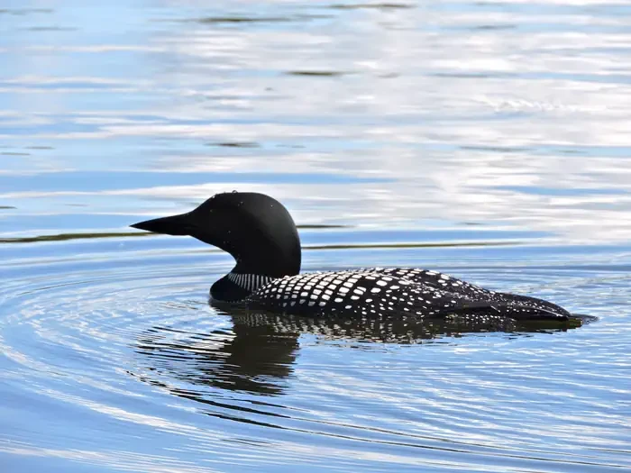
Life on the Lake Tour
International Falls, MN
NewFee Unknown
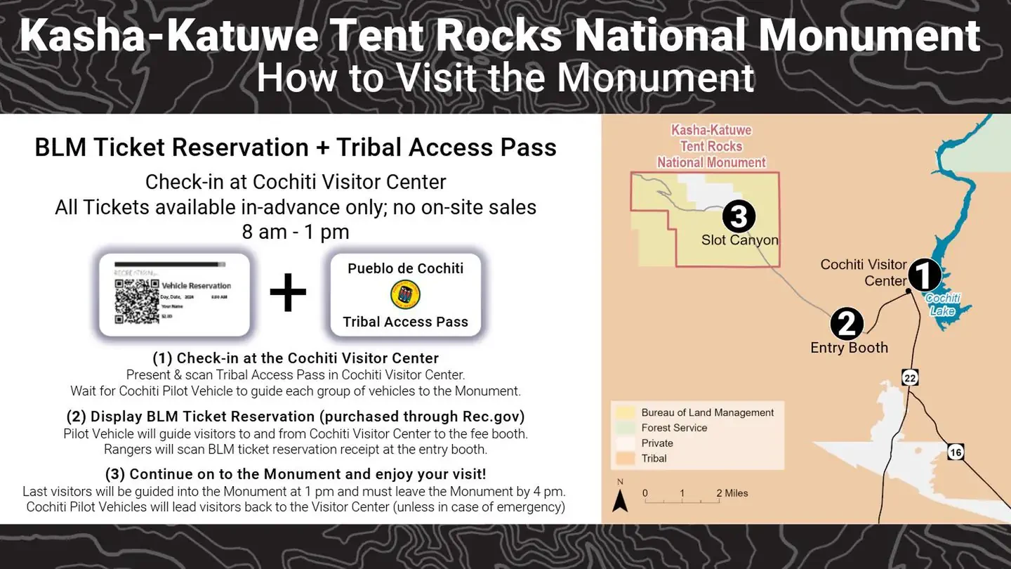
Kasha Katuwe Tent Rocks National Monument Ticketed Entry
Albuquerque, NM
NewFee Unknown
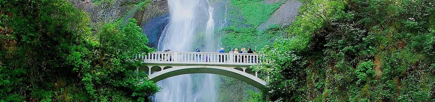
(Deactivated) Multnomah Falls Timed Reservation Tickets
Bridal Veil, OR
NewFee Unknown
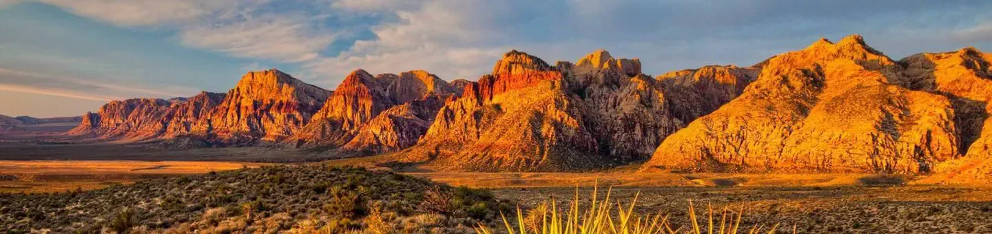
Red Rock Canyon National Conservation Area Scenic Drive Timed Entry
Las Vegas, NV
NewFee Unknown