Salmon River (4 Rivers)
Hosted by USDA Forest Service
New experience
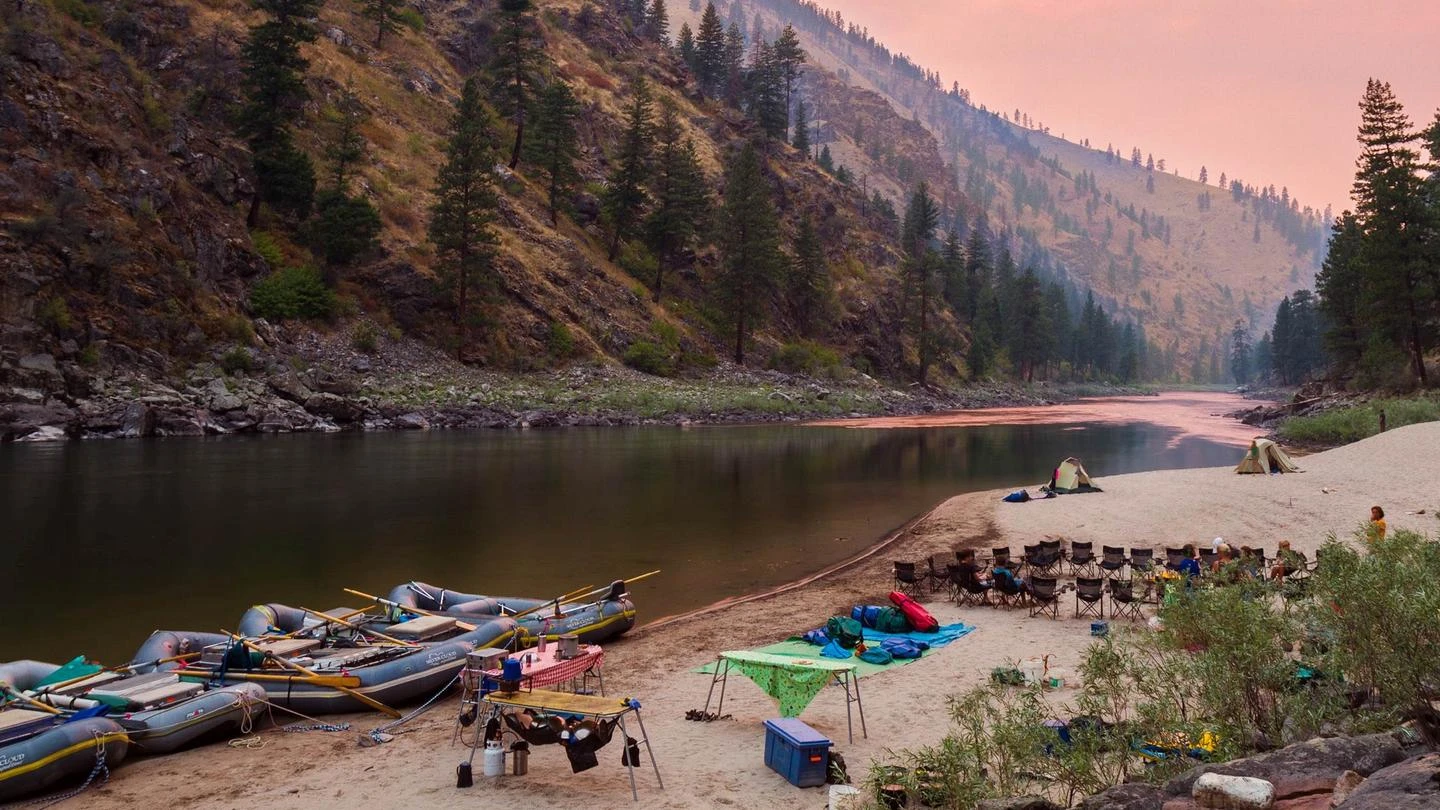
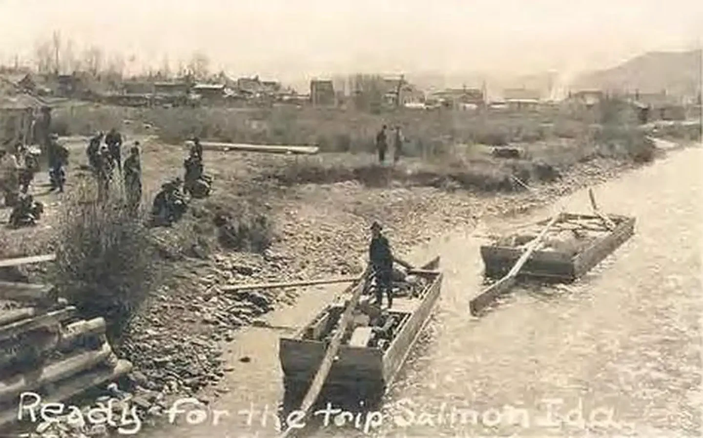
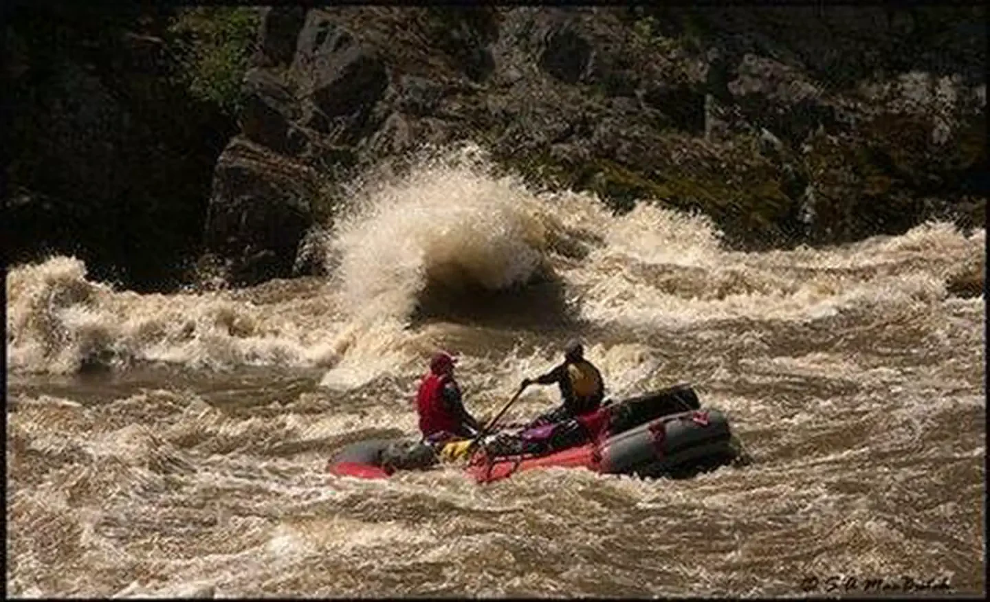
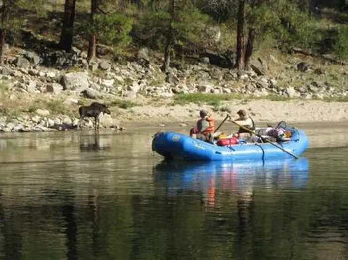
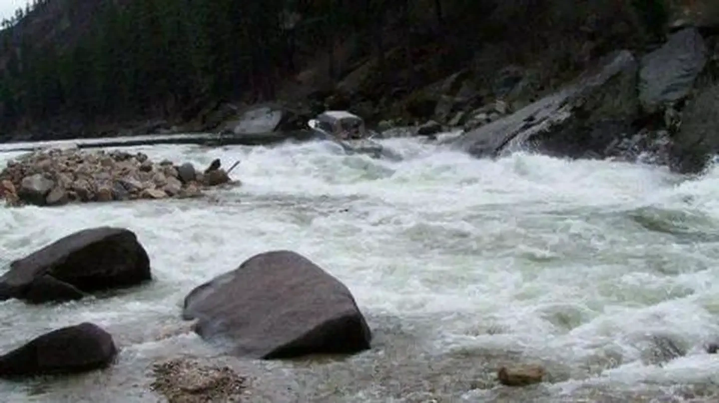
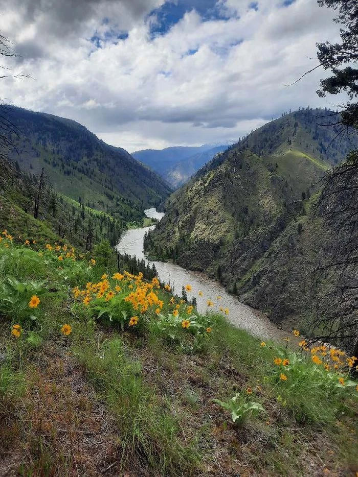
The Salmon River originates in the Sawtooth and Lemhi Valleys of central and eastern Idaho, fed by springs and snowmelt from the Sawtooth and Salmon River mountains. The river flows undammed along its 425-mile total length and drains about 14,000 square miles within the borders of Idaho, making it the longest free-flowing river in the lower 48 states. From elevations above 8,000 feet, the Salmon cascades to an elevation of 905 feet before it joins the Snake River in Hells Canyon, near the Idaho/Oregon border. The Salmon River is historically known as The River of No Return. For more than 105 years after the first European Americans came to the area, only one-way trips down the river were possible. The most commonly used boats were wooden scows, designed to carry heavy loads and withstand whitewater; they were then dismantled and used for lumber at the trips' conclusion, and it was from these trips that the nickname originated. Historically, wooden rafts, swimming, cable crossings, bridges or ferries were the only available means by which to cross the River of No Return. Today, there are pack bridges at Stoddard Trailhead, Campbells Ferry, Mackay Bar and Wind River. The Salmon flows through a vast wilderness, as well as the second-deepest gorge on the continent — only Hells Canyon on the Snake River is deeper. The Salmon's granite-walled canyon is over 1,000 feet deeper than the Grand Canyon, and for approximately 180 miles it is more than a mile deep. In the 151 miles from North Fork to Riggins, the river drops a total of 1,910 feet, or more than 12 feet per mile. Peak flows occur from the middle of May to early July; the river is at its lowest in January and February, but highs and lows are subject to seasonal changes. All boaters floating the wild section of the Salmon River are required to obtain a trip permit before launching at any time of the year. The section of river covered by this system extends from Corn Creek to Long Tom Bar. Boaters floating the South Fork of the Salmon River and exiting onto the wild section of the main Salmon must obtain a tributary permit from the Krassel Ranger District before floating. Outside the lottery season, the number of launches is unlimited, but a trip permit is still required before launching. The lottery period for the wild section of the main Salmon extends from June 20 through Sept. 7; during that season the size of the group determines the maximum length of stay, and no more than eight float boat parties, commercial and non-commercial, are allowed to launch each day.
Location
North Fork, ID
To respect the Host's privacy, the precise address of this land will be provided after booking
Site features
Salmon River
Located in central Idaho in the heart of the Frank Church River of No Return Wilderness (FC-RONRW), lies the 80 mile Wild section of the Salmon River. This section traverses the state of Idaho from east to west and was the water way that Lewis and Clark sought to the Pacific, but found unnavigable. The Salmon River lies within the FCRONR and is also bordered by the Selway Bitterroot Wilderness and Gospel Hump Wilderness. It is managed by the Salmon-Challis National Forest under the less restrictive Wild and Scenic Rivers Act allowing for a variety of different user types.
Reviews
No reviews yet.
USDA Forest Service
- 0
- Reviews
Meet your host, USDA Forest Service
You might also like...
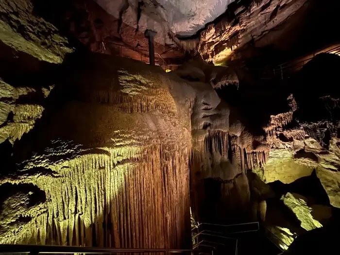
Grand Avenue
Mammoth Cave, KY
NewFee Unknown
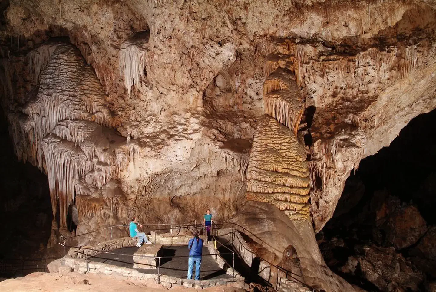
Self-Guided Tour
Carlsbad, NM
NewFee Unknown
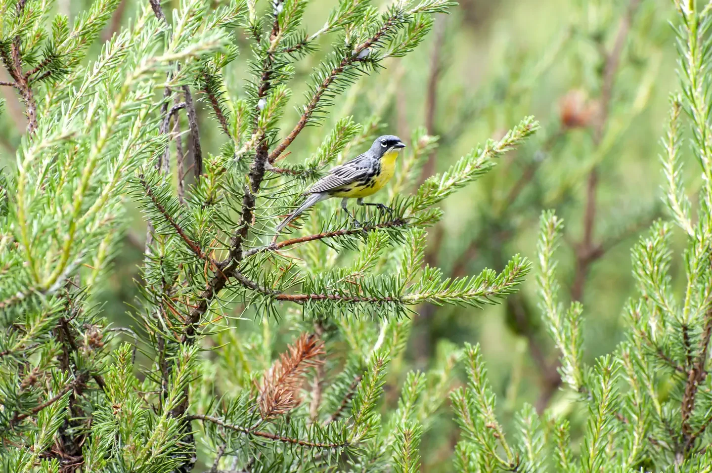
Kirtland's Warbler Guided Tour
Mio, MI
NewFee Unknown
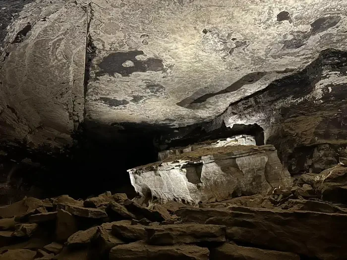
Extended Historic Tour
Mammoth Cave, KY
NewFee Unknown
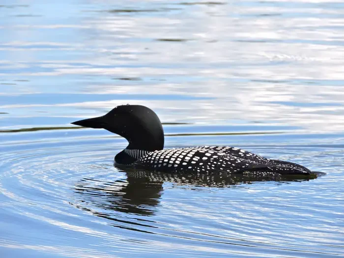
Life on the Lake Tour
International Falls, MN
NewFee Unknown
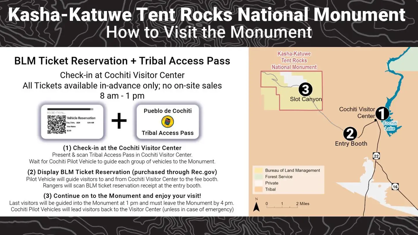
Kasha Katuwe Tent Rocks National Monument Ticketed Entry
Albuquerque, NM
NewFee Unknown
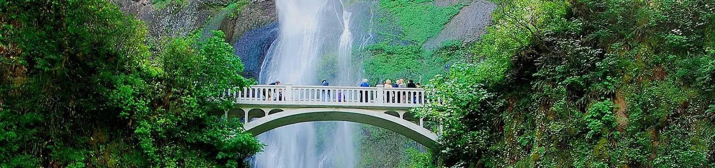
(Deactivated) Multnomah Falls Timed Reservation Tickets
Bridal Veil, OR
NewFee Unknown
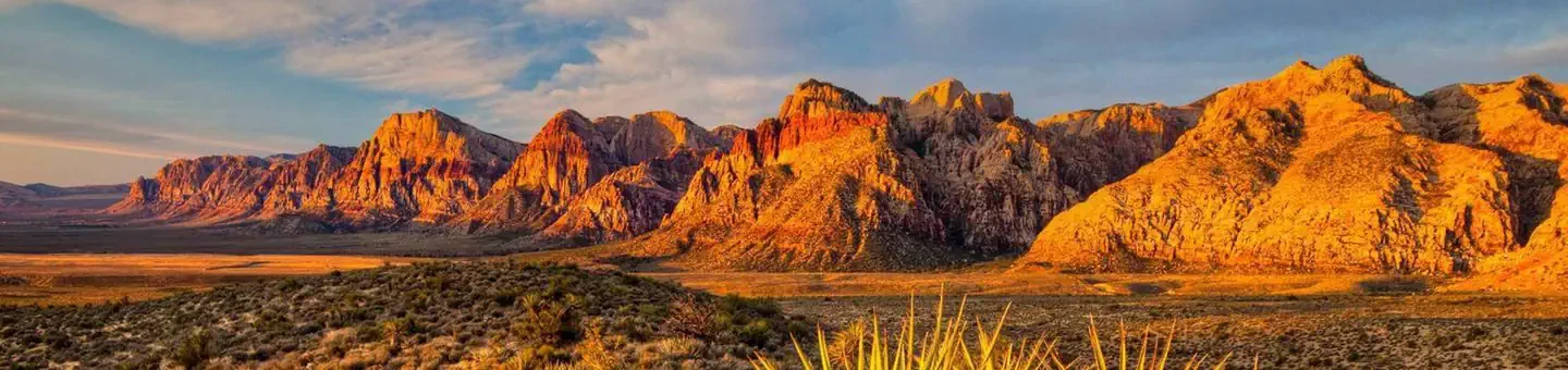
Red Rock Canyon National Conservation Area Scenic Drive Timed Entry
Las Vegas, NV
NewFee Unknown