Voyageurs National Park Houseboat Permits
Hosted by National Park Service
New experience
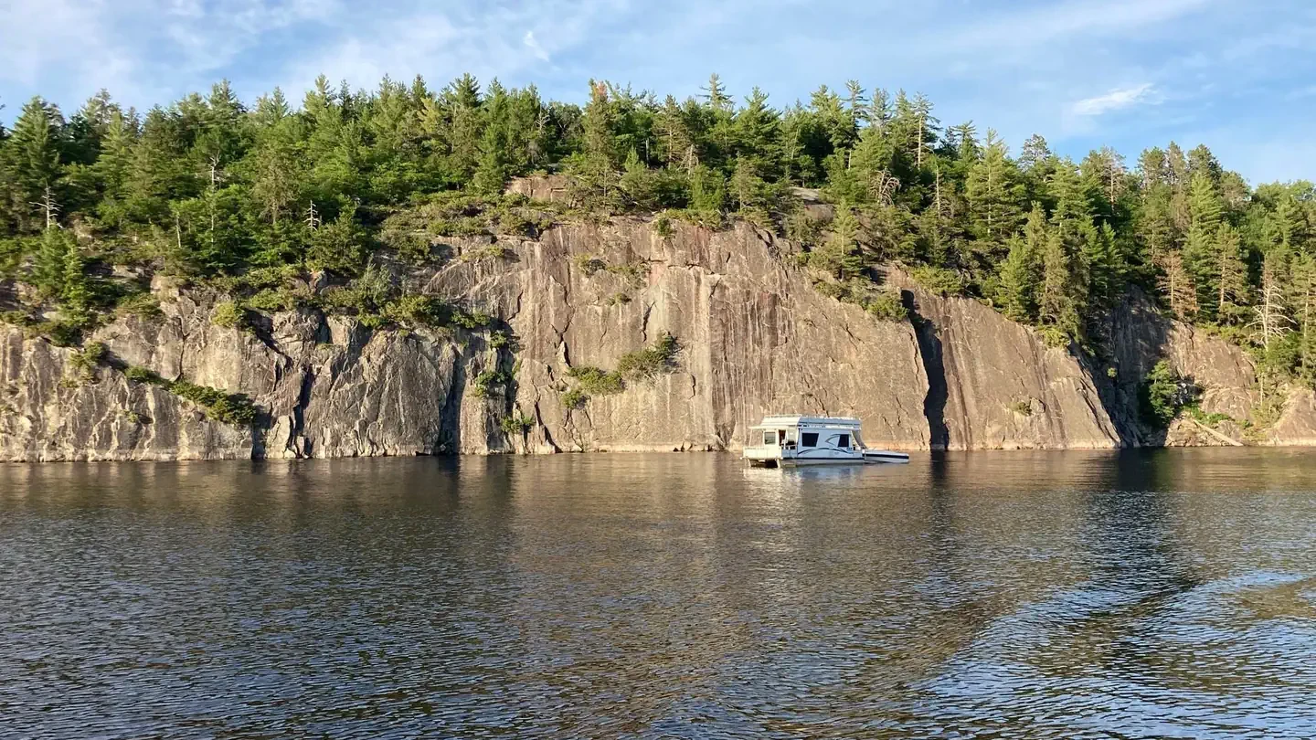
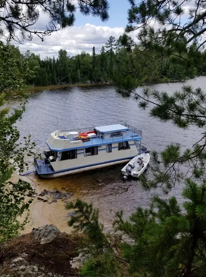
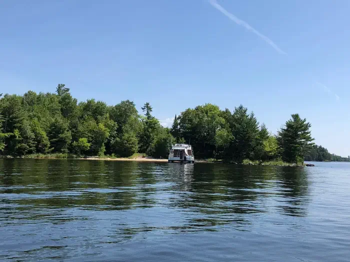
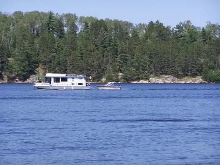
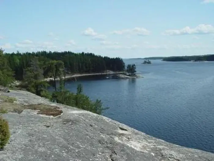
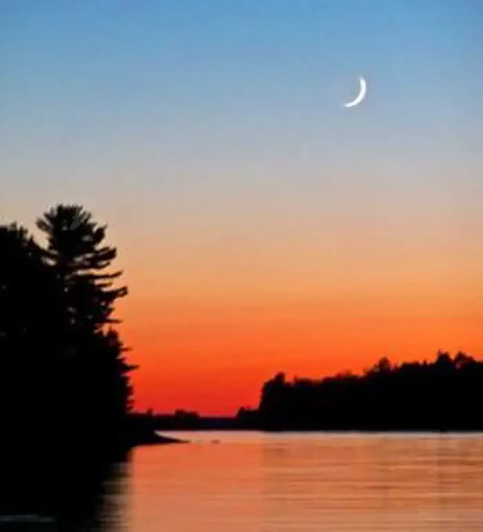
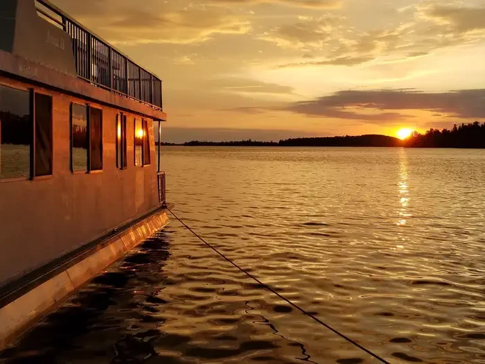
Voyageurs National Park is a land and water environment of great beauty, exceptional natural and cultural resources, and abundant recreation opportunities. Located in the lake-country of northern Minnesota, the park protects 218,054 acres that include roughly 134,000 acres of forest, 84,000 acres of water, 655 miles of undeveloped shoreline, and hundreds of islands. The park's 55-mile northern boundary is the international border between the United States and Canada and includes an important segment of the "transcontinental highway" traversed by French-Canadian voyageurs during the late 1700s and early 1800s. The rocks tell the oldest story here. Lying in the southern portion of the Canadian Shield, the bedrock of Voyageurs is 2.8 billion years old, some of the oldest exposed rock in the world. Glaciers more than a mile high scoured out the lake and river beds here and set the stage for vast forests. Voyageurs is unique among national parks as a place where the southern boreal forest meets and mixes with the northern hardwood forest, and it is one of only two national parks in the continental United States with an indigenous population of the Eastern Timber Wolf. Once visitors arrive at one of the park's four entry points, most of them leave their cars behind and set out by water, much as the Voyageurs did centuries ago. The park includes four major lakes — Rainy, Kabetogama, Namakan, and Sand Point — and twenty-six smaller inland lakes that together make up more than a third of the total park area. The smaller lakes are scattered throughout the park, but primarily on the Kabetogama Peninsula, Voyageurs' largest landmass, which can be reached by water in summer or over the ice in winter. There are four distinct seasons in Voyageur country. The air is temperate during June, July, and August when periods of fine, mild weather prevail, and the frost-free season averages 120 days from June to mid-September. The average ice-out date is May 3 but varies year to year. Annual precipitation averages 25-28 inches and average snowfall ranges from 55-70 inches, but is highly variable; the first measurable snowfall occurs in late October and the last in late April or early May. The park offers more than 52 miles of hiking trails, 110 miles of groomed snowmobile trails, 7 miles of groomed cross-country ski trails, and more than 290 designated campsites, houseboat sites, and day use sites. Houseboats staying overnight in the park from May 1 through October 31 are required to obtain an overnight permit. There is no permit needed for day use within the park boundaries.
Location
Voyageurs National Park Houseboat Permits
To respect the Host's privacy, the precise address of this land will be provided after booking
Site features
KNS
The Namakan Chain of Lakes is on the south side of the park and it is possible to travel through all of them by houseboat. You can enter the Namakan Chain of Lakes from Crane Lake, the Ash River community or from the Ash River or Kabetogama Lake Visitor Centers. Once on the Namakan Chain you cannot travel by houseboat to Rainy Lake. There are two houseboat rental companies servicing the Namakan Chain, Ebels Houseboats out of the Ash River community and Voyagaire Houseboats in Crane Lake.
RL
Rainy Lake is a large body of water on the north side of the park along the Canadian border. It can be assessed at the Rainy Lake Visitor Center Boat Ramp and once on Rainy Lake you cannot travel by houseboat to the other large lakes in the park. If you are renting a houseboat, there are two companies, Rainy Lake Houseboats and Northernaire Houseboats, which service Rainy Lake.
Reviews
No reviews yet.
National Park Service
- 0
- Reviews
Meet your host, National Park Service
You might also like...
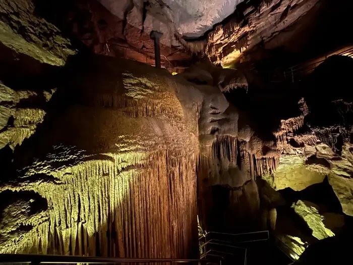
Grand Avenue
Mammoth Cave, KY
NewFee Unknown
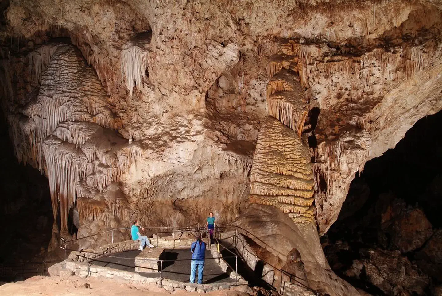
Self-Guided Tour
Carlsbad, NM
NewFee Unknown
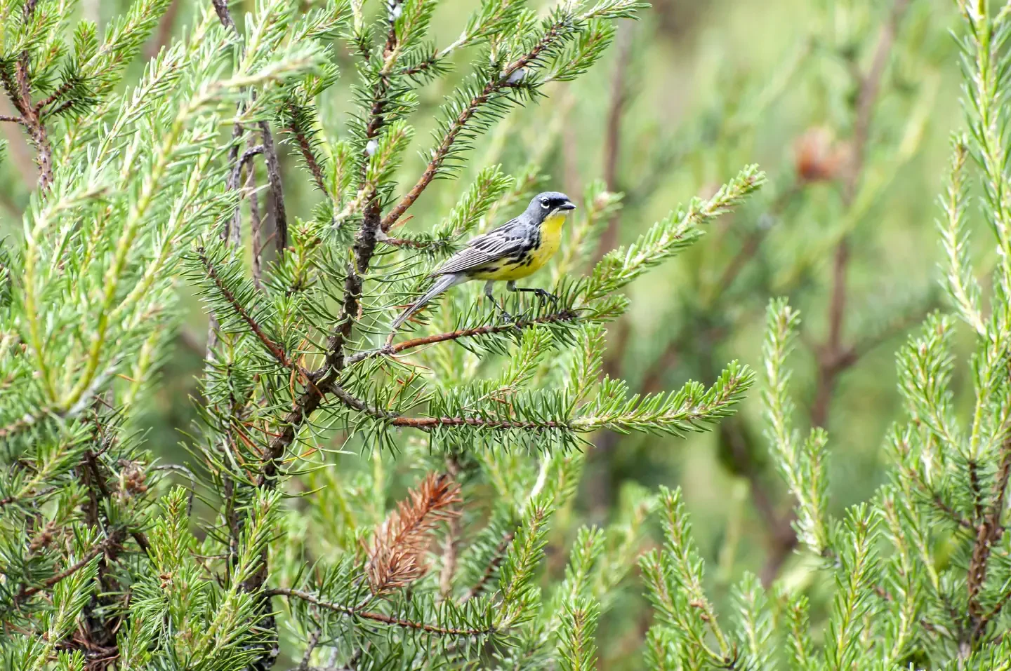
Kirtland's Warbler Guided Tour
Mio, MI
NewFee Unknown
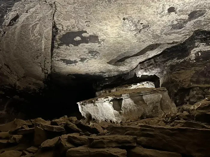
Extended Historic Tour
Mammoth Cave, KY
NewFee Unknown
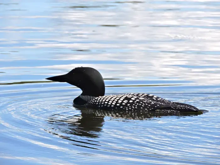
Life on the Lake Tour
International Falls, MN
NewFee Unknown
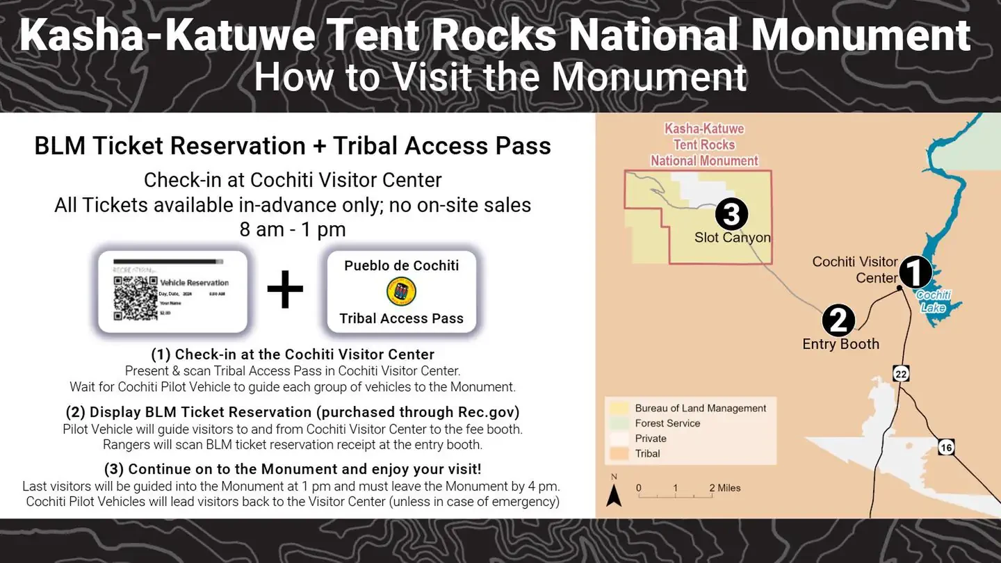
Kasha Katuwe Tent Rocks National Monument Ticketed Entry
Albuquerque, NM
NewFee Unknown
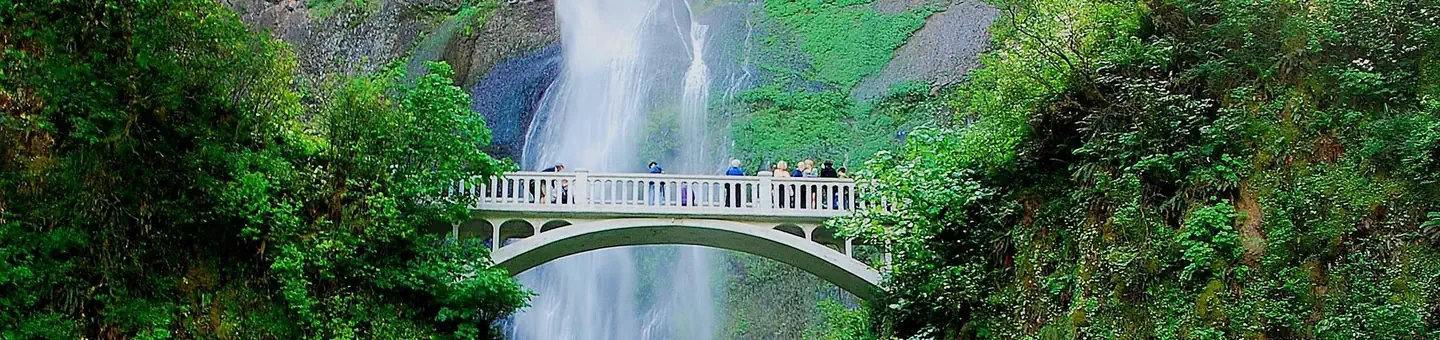
(Deactivated) Multnomah Falls Timed Reservation Tickets
Bridal Veil, OR
NewFee Unknown
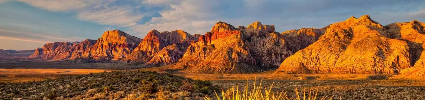
Red Rock Canyon National Conservation Area Scenic Drive Timed Entry
Las Vegas, NV
NewFee Unknown